
VOSGES - Wisembach - Le Haut de Faîte
Year of visit: 2008, 2010
From the Bernhardstein , south of the Col de Ste. Marie, we continue our exploration on the northern side of the Col at the southern slopes of the Chaume de Lusse . Though we will first visit the French Col de Ste. Marie National Cemetery, afterwards we will continue exploring the German relics of the “ Leber ” Sector on the Haut de Faîte and the Roche des Chèvres .
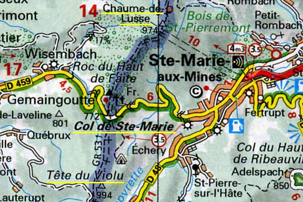
The Col de Ste. Marie lies east of Wisembach and west of Ste. Marie-aux-Mines, at a height of 776 meter
On the previous page about the Tête du Violu-Bernhardstein , we visited the relics at the south side of the pass, ...
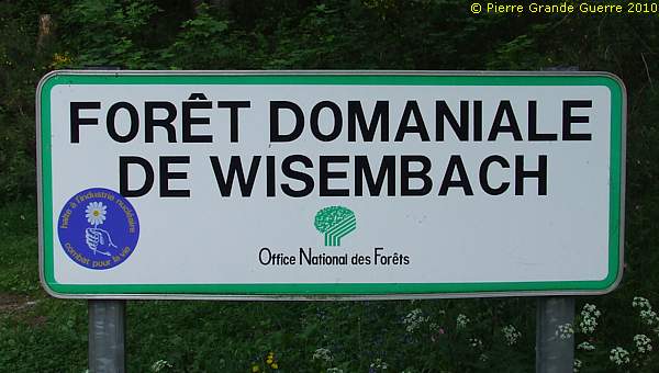
... this time we visit the northern side of the pass in the Forêt Domaniale de Wisembach at the southern slopes of the Chaume de Lusse.
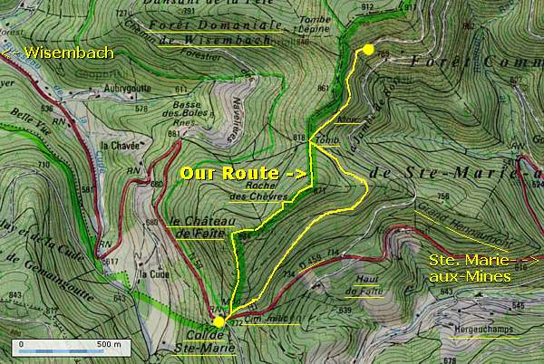
Our walking route
Largely based on the Blue Route above, we choose our own Yellow Route. We will start at the French Cemetery, then we continue northward to the Château de Faîte and the Roche des Chèvres to finish some 300 m. after the site of the " Hessische Löwe ", and we will return via an interesting eastern route to our point of departure.
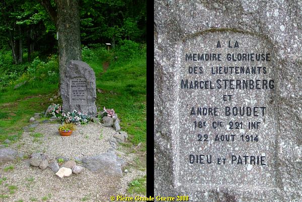
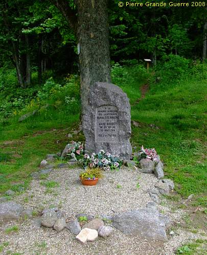
Along the northern side of the road, on the Col, stands a memorial stèle, for 2 French officers, who died here on the Col on 22 August 1914. This Sternberg-Boudet Memorial is the point of departure and later the finish of our walk.
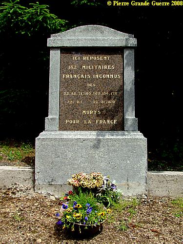
At a distance of not more than 100 m. lies the French Col de Ste. Marie National Cemetery.
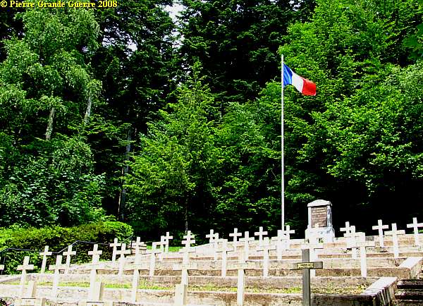
The Cimétière Nationale de Col de Ste. Marie is a rather small cemetery containing about 100 soldier graves, and a mass grave for 162 unknown soldiers of the 22e, 52e, 71e, 100e, 149e, 158e, 170e, 221e Infantry Regiments.
Even officers were killed during these fights. Right: the grave of a Sergeant Major of the 149e R.I., fallen on 9 August.
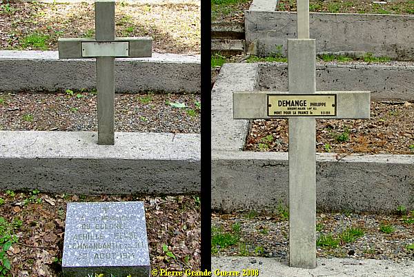
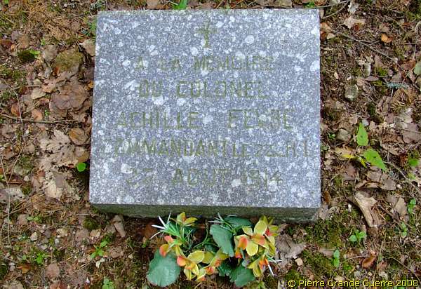
Left: the grave of Colonel Achille Fèvre , Commander of 22e R.I., killed on 22 August 1914, close by here, on the Col.
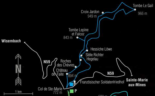
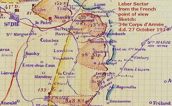
Combats for the Pass of Ste. Marie
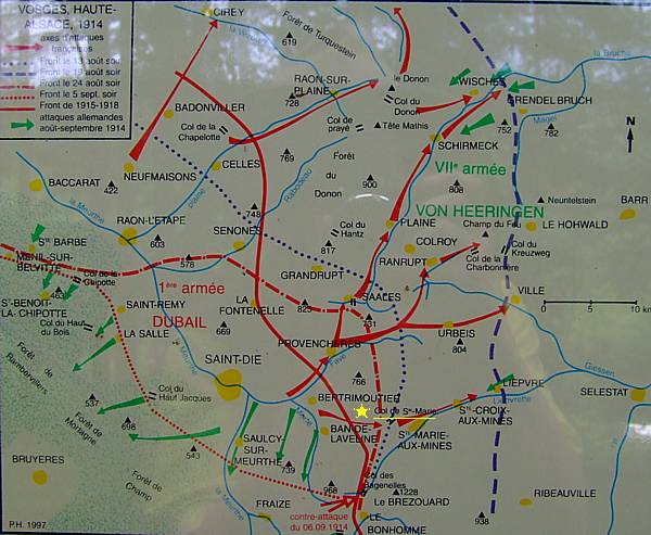
On the col you will find this informative map, showing the battles, attacks, and counterattacks between the French 1st. Army of General Dubail against the German VIIth . Army of General von Heeringen of August and September 1914.
The red, unbroken, line points out the front in this sector, as it would freeze in a "stalemate"-situation from 1915 until 1918.
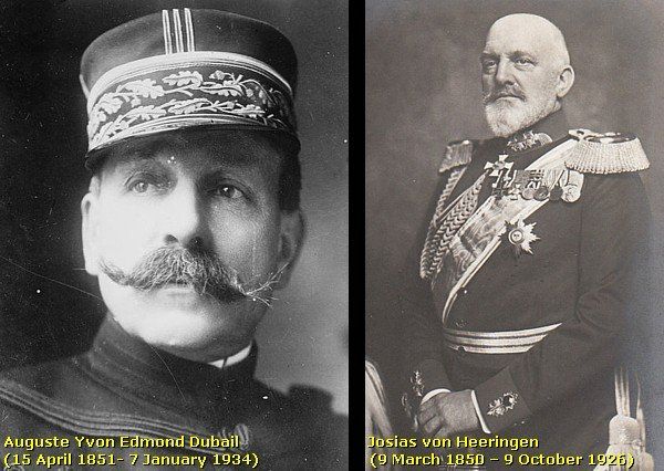
There were fierce fights for the Pass of Ste. Marie from 8 August 1914 until 24 August 1914, and again on 9 September until the beginning of November 1914.
On 8 August General Dubail ordered the 21st Army Corps to attack the Col de Ste. Marie, the Col de Bonhomme and the Chaume de Lusse . It was the task of the 31e Bataillon Chasseurs à Pied to capture the Col de Ste. Marie and de Chaume de Lusse in the north at the cost of many casualties.
On 9 August the 149th Infantry Regiment had to fight in this front sector. 440 Men were killed or went missing in action.
On 16 August the French 2nd Battalion of the 99e R.I. under commandant Arbey entered the village of Ste. Marie-aux-Mines. The French had to withdraw on the 22nd. to the Col de Ste. Marie under pressure of General Grüber's 9th Brigade.
On the 23rd the French recaptured the Col. On the same day the Germans found the French attack plans for the 24th on the body of a dead French soldier.
On the 24th the Germans, attacking from the Pain du Sucre and the Chaume de Lusse , encircled the Col and recaptured it. During these fights the French lost several important officers, amongst others the regimental commanders, Colonel Fèvre ( 221e R.I.), Lt. Col. De Malgaive (349e R.I.), and Lt. Col. Cullard (358e R.I.).
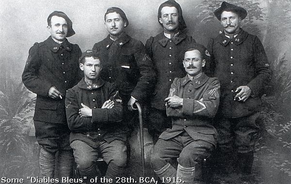
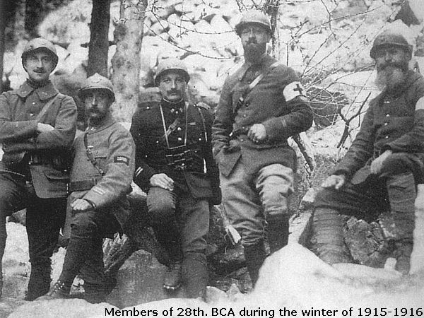
After 3 attacks and fights with bayonets the " Diables Bleus" or "Blue Devils" of the 28e Bataillon Chasseurs Alpins under command of Capitaine Regnault and the 343e R.I. succeeded to caprture the Tête du Violu on 1 November 1914. The French reached the summit and occupied the western slopes of the Tête du Violu .
The Germans though would hold the eastern slopes of the Bernhardstein (856m.), some 700 m. to the south, and the pass itself. The area around the Pass of Ste. Marie, the valley of Hergauchamp, and the town of Markirch were many times the target for French artillery bombardments.
From the Sternberg-Boudet Memorial we take the track behind it northward.
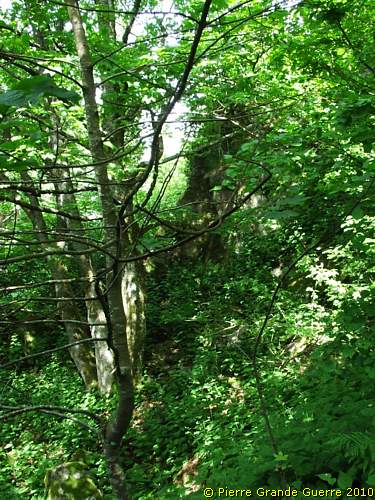
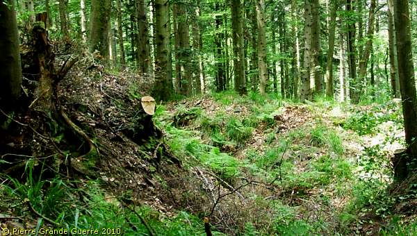
Along a difficult track we go upward, where we find some traces of German trenches.
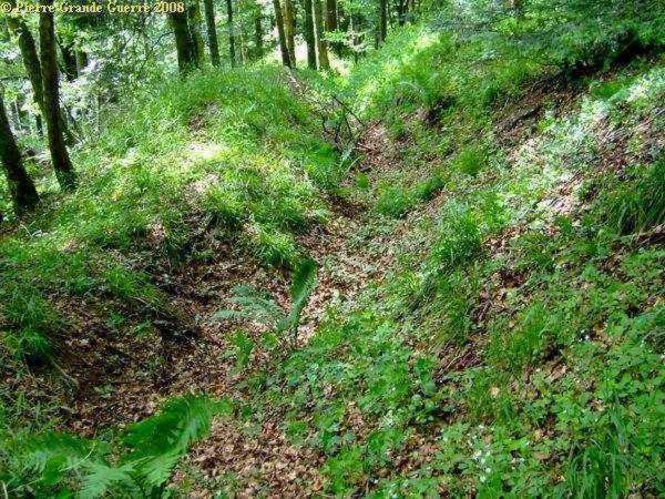
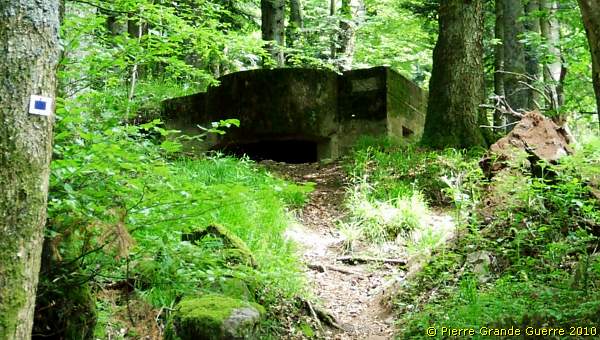
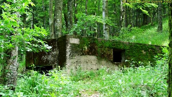
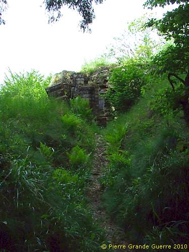
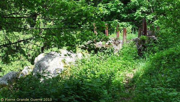
We spot our first German machine-gun bunker of the day.
Some concise words about the German
"
Leber
" Front Sector
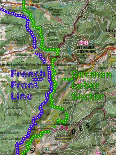
The German front sector, the " Leber " Sector, west of Ste. Marie-aux-Mines or Markirch , had a length of 15 km. The sector stretched from the summit of the Chaume de Lusse (838 m.) in the north, via the eastern slopes of the Bernhardstein (856 m.), southward to the summit of the Grand Brezouard (1229 m.), near de Col de Bagenelles , north of Le Bonhomme .
German units on the Haut de Faîte / Hochfirst
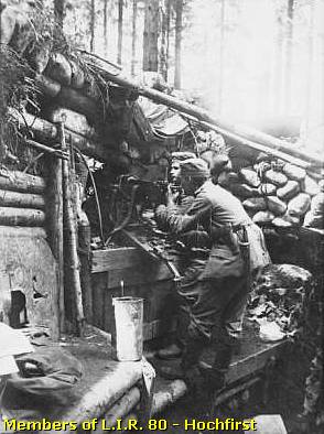
With intervals this front sector has been defended by the 61. Landwehr Brigade, a Prussian reserve unit, consisting also of Hessian and Bavarian units, under command of General Freling , from 1914 until 1917.
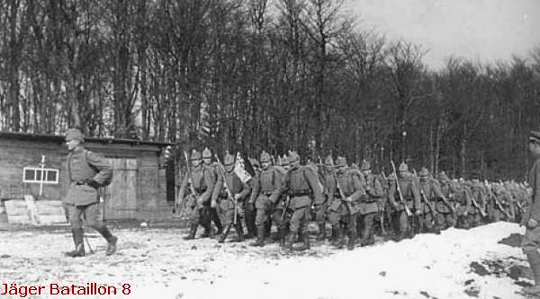
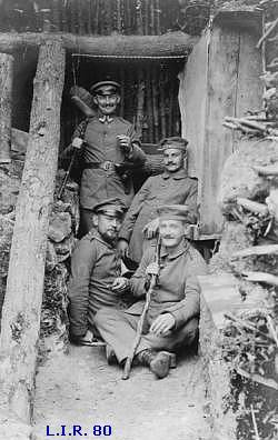
In 1915 the Jäger Bataillon 8 and Landwehr Infanterie Regiment 80 defended this northern part of the " Leber " Sector.
In 1916 and 1917 the Landsturm Bataillon Friedberg defended this " Hochfirst ". In the second half of 1917 the Bavarian Landsturm Bataillon Landshut took over the defence of the Haut de Faîte . In 1918 the Bavarian Ersatz Regiment 2 manned these positions, north of the Col de Ste. Marie.
(For more info about the southern
"Leber" sector, visit first my
previous photo impression about the Tête
du
Violu-Bernhardstein
.)
This late-war machine-gun bunker guards the road of the pass below.
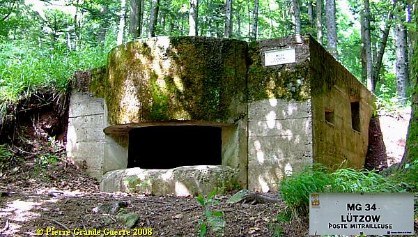
I enter this " Lützow " bunker for a short inspection.

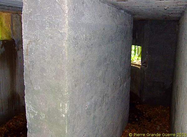
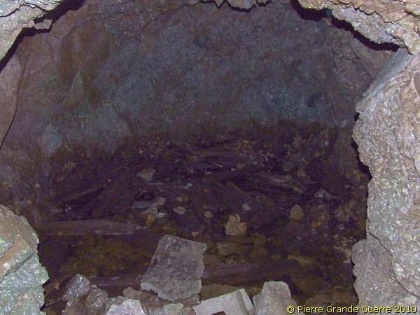
It is a two room bunker.
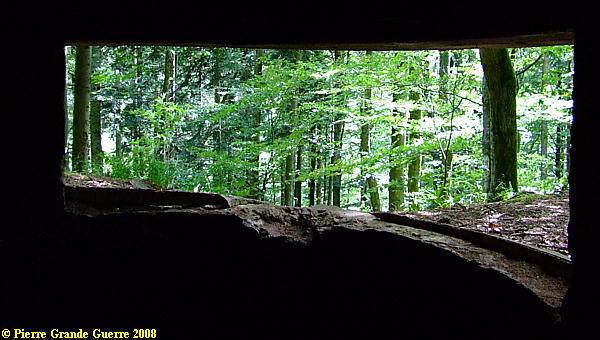
If the trees would have been cut down again, the machine-gun would overview the road on the pass.
I estimate not more than 50 m. more upward: another identical, late-war machine-gun bunker.
The direction of the line of fire is slightly more westward.
We follow a trench upward near the former 1871-1918 Franco-German border.
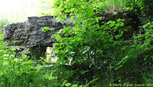
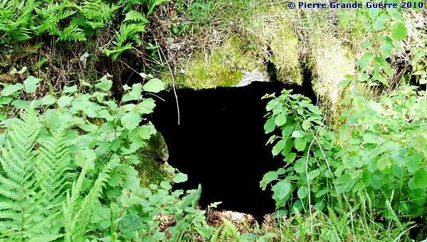
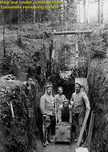
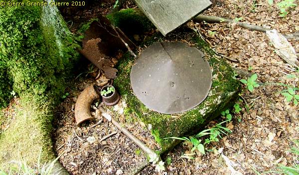
A concrete dug-out entrance.
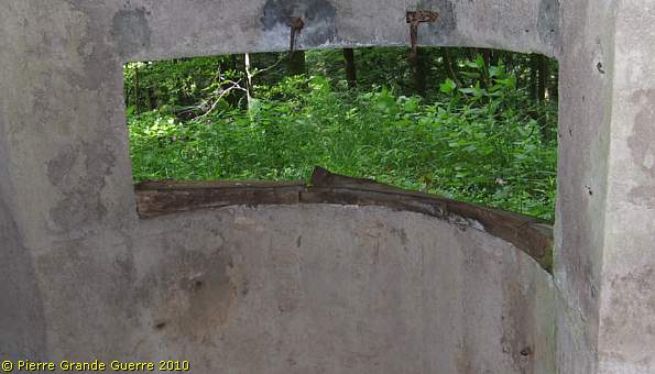
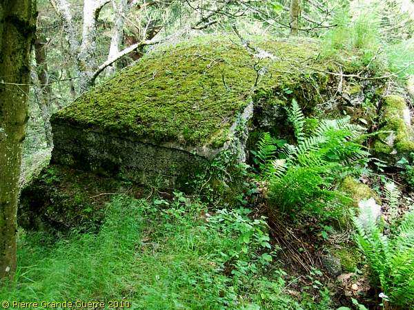
A 1915 model machine-gun bunker (masonry work) ...
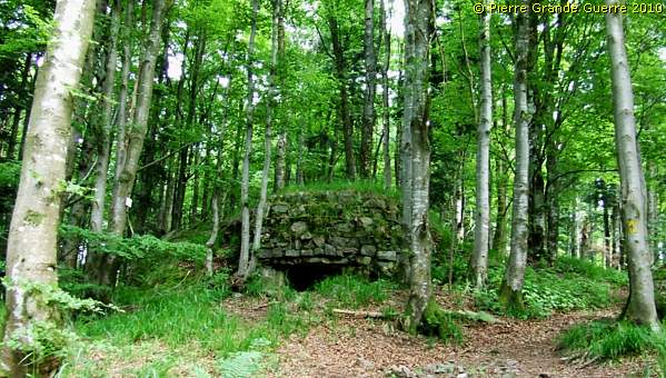
... guards the track southward.
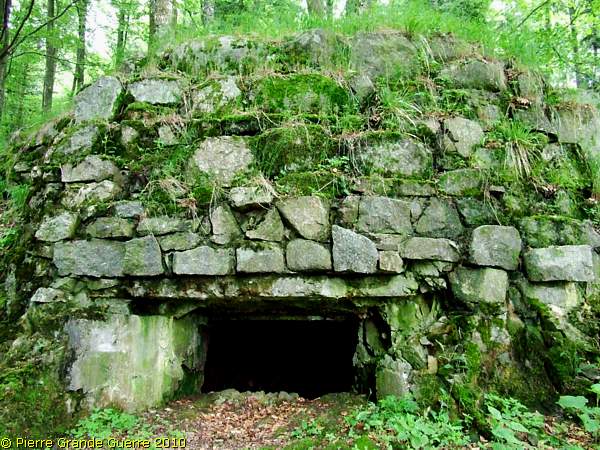
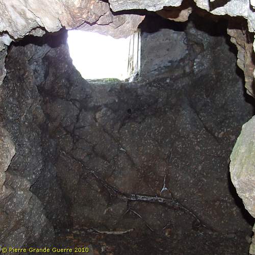
A view through the fire hole inside.
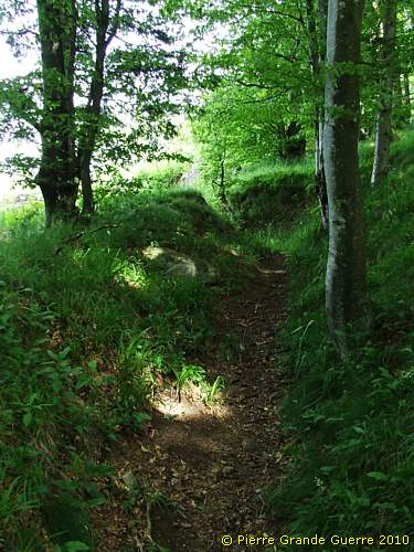
We continue through a trench upward.
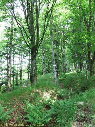
The trench runs upward to the" Adlerhorst ", the Eagle's Nest .
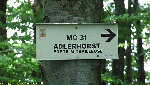
The trench to the " Adlerhorst ", ...
...runs upward to the height of the Château de Faîte.
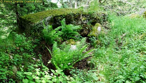
On the steep ridge the " Adlerhorst " machine-gun bunker faces west.

The interior; a room for shelter.
The fire hole facing westward.
Le Haut de Faîte has claimed the lives of many soldiers, not only of French soldiers, but also of many German soldiers.
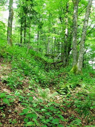
We continue upward in a trench on the ridge.
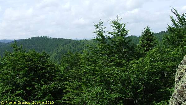
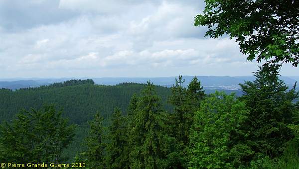
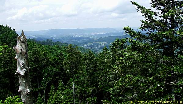
From this point we have a magnificent view from the former German borderline to “France”.
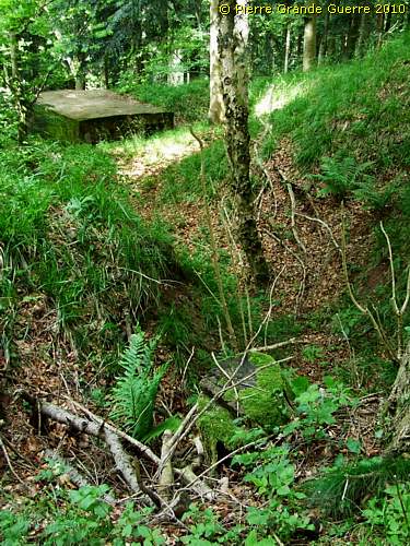
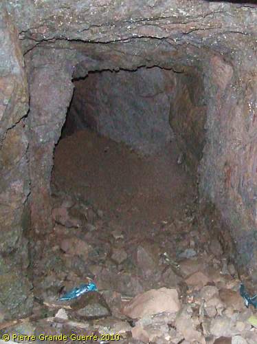
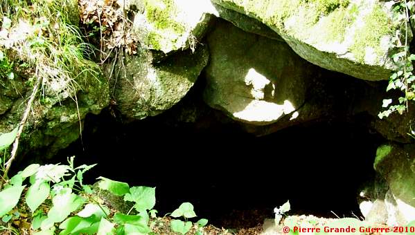
This trench knows also many dug-out entrances.
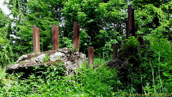
The ruine of an observation post.
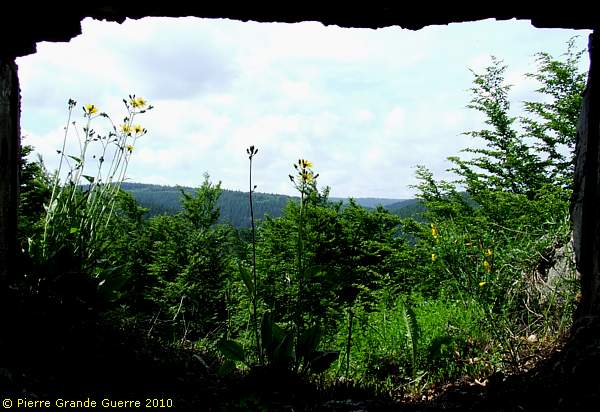
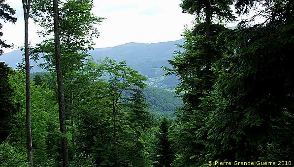
Panorama view westward from this ruined bunker to the Ormont.
Behind this bunker are relics of communication trenches.
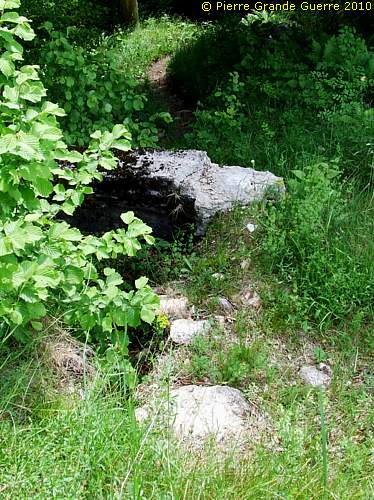
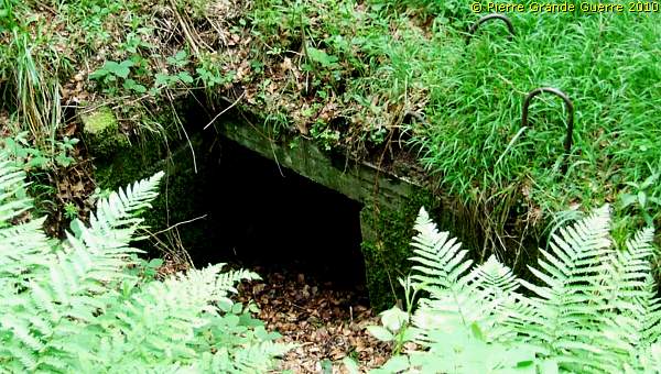
Beware: there are a lot of these concrete "foxholes" here, ...
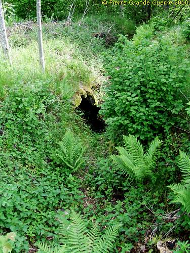
... dug-out entrances, hidden under the dense vegetation! Don't fall in. I only show you a few here.
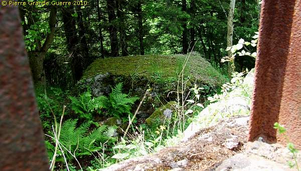
Along the steep ridge we pass this bunker...
... with fire holes facing south-west.
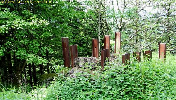
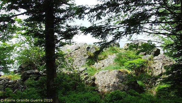
We have now reached the rock of the Château de Faîte (884 m.).
A view north-westward from this observation post.
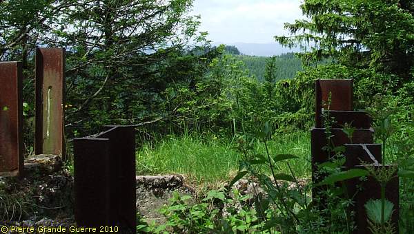
Only the H-bars and the groundplan are in tact.
A view downward from the post to the bunker we have just passed.
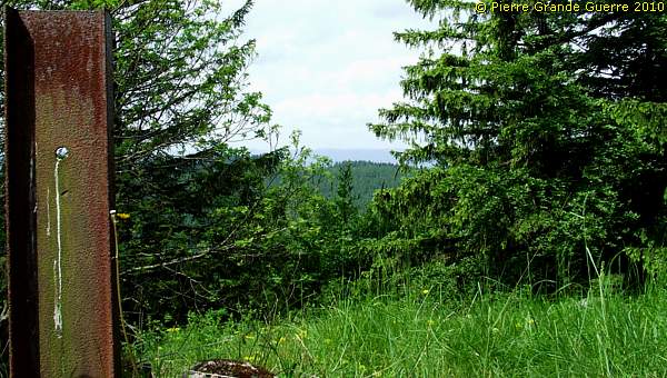
Two views westward to "France".
From this observation post we follow partly a trench northward.
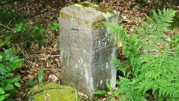
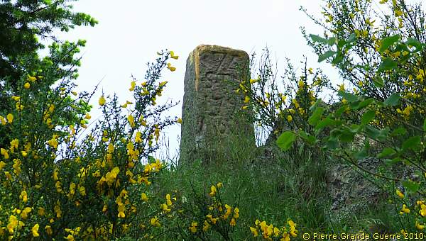
We switch to a track that follows the 1871-1918 borderline. A border stone.
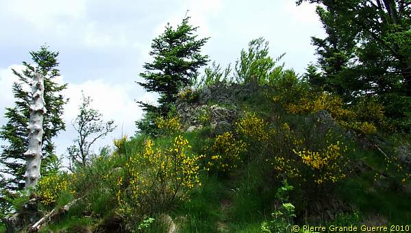
We approach now the Roche des Chèvres , "Goat's Rock".
On top of the rock stands another border stone.

View north-westward from the Roche des Chèvres (871 m.).
From the Goat's Rock we continue.
At 818 m. at a junction of tracks we walk eastward into the forest.
We arrive at the former location of the German
"Camp
Hegelau
"

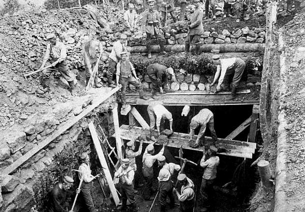
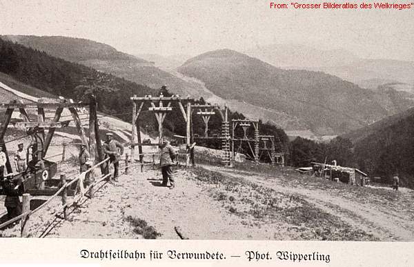
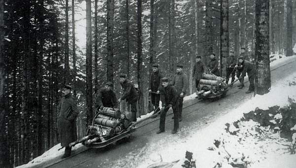
We are now at the location of a vast military camp, originally created by Oberst (Colonel) Hegel's Landsturm Bataillon Weilheim , called "Camp Hegelau ”. It was considerably enlarged and embellished by the L.I.R. 80. A pumping station, located in the valley of Robinot , and electricity generators supplied the Hegelau camp with potable water and electricity. A cableway, the " Eberhardt - Drahtseilbahn ”, supplied equipment and materials from the valley of Petit- Rombach , north-east of Ste. Marie-aux-Mines. A whole system of front railways, the " Lordonbahn ," was supplying the nearby area’s from Lusse and Lubine in the north.
At this location stands a lonely grave memorial of a ...
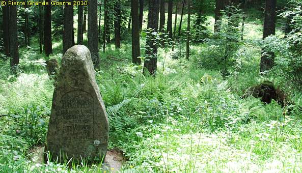
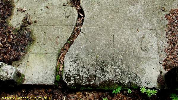
... Landsturmmann , Max Richter, killed in 1916.

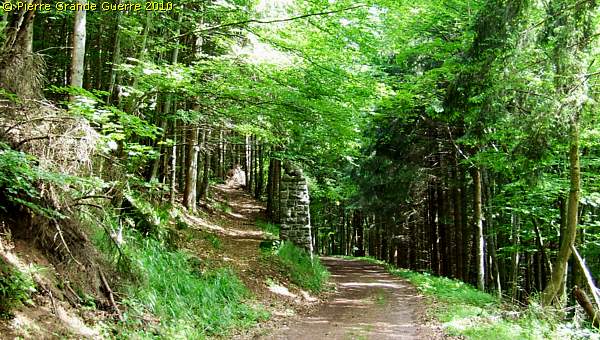
This forest road, constructed by L.I.R. 80 runs north-eastward, parallel to the former border.
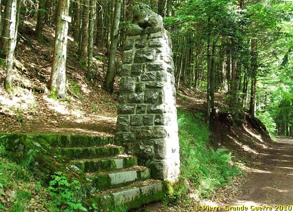
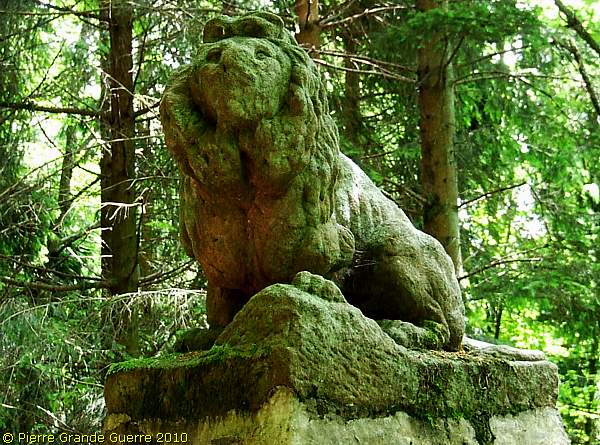
At the " Hessische Löwe ", the Hessian Lion, the path left upward returns to the border and to summit of the Chaume de Lusse.
We prefer to continue along the forest road.
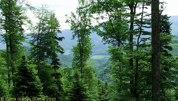
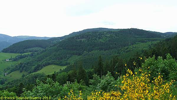
A south-eastward view through the trees.
We approach perhaps the last relic of the Camp Hegelau : ...
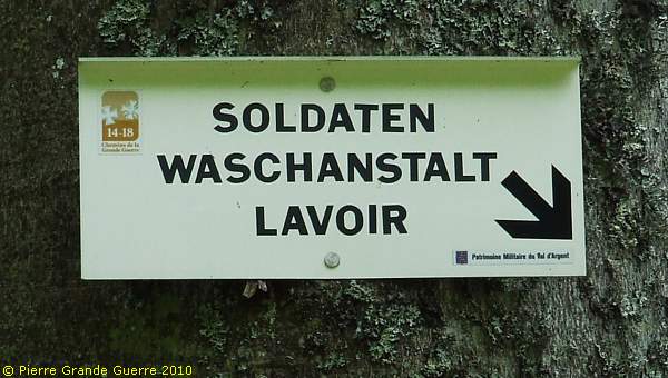
... a lavatory installation for the soldiers, ...
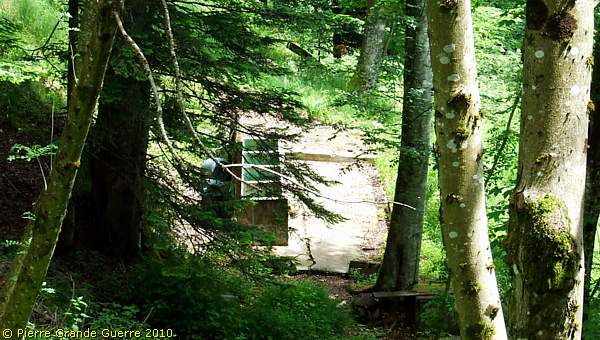
... constructed in 1916.
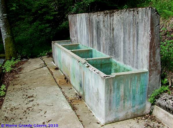
Souvenir hunters, please, leave these few relics alone for the enjoyment of your other fellow travellers.
A view from the soldiers lavatory into the direction of Brifosse.
We return and we follow the eastern forest road downward.
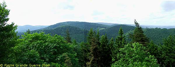
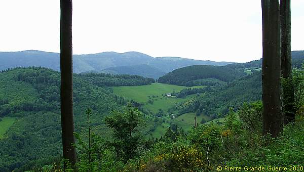
A panorama view southward into the direction of the Brézouard. The Lingekopf and the Tête de Faux are at the horizon.
From a slope of the Haut de Faîte a last south-westward view at the "German side" of the Tête du Violu and the Bernhardstein .
We have returned to our starting point of our walk at the Sternberg-Boudet Memorial at the Col de Ste. Marie.
Next we will follow the front line northward to Bertrimoutier.
Continue
to: " Bertrimoutier - Frapelle
"


