ALSACE SUNDGAU - Burnhaupt-le-Bas - Bunker Path

  • by Pierre Grande Guerre
  • 27 May, 2019

Year of visit: 2011

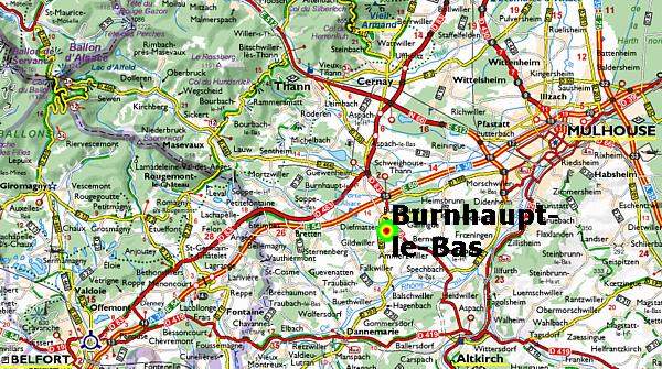
Alsace Sundgau, Département Haut-Rhin, southwest of Mulhouse: On a hot day in June 2011 (30°C.) we walked the "Sentier des Bunkers", the Bunker Path of Burnhaupt-le-Bas along the German 3rd line artillery positions of 1914-1918. Besides enjoying the landscape and nature we will visit 27 German bunkers.
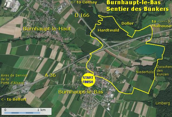
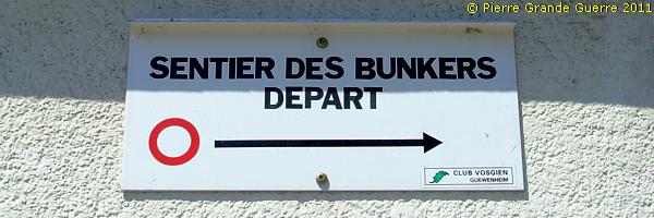
We park our car at the foot of the village church of Burnhaupt-le-Bas and we start our walk of 8.6 km., following the signs, which lead us northward, out of the village.
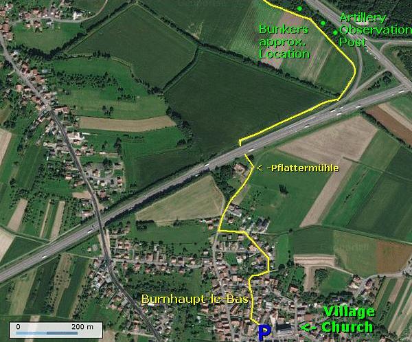
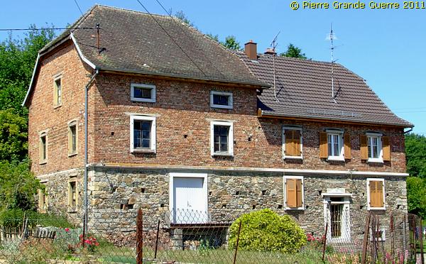
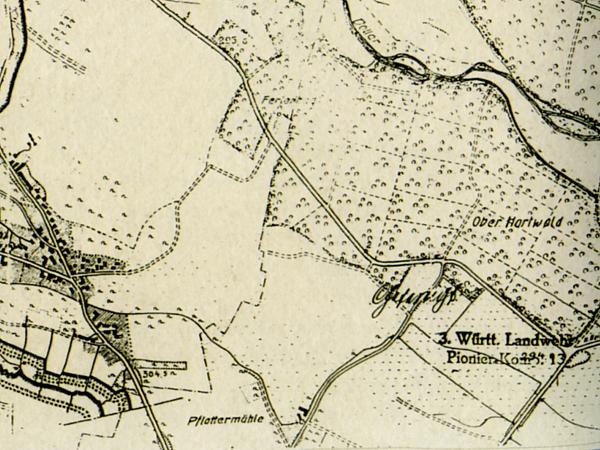
This farm stands on the location of a former water mill, the "Pflattermühle", destroyed during the war. Before and during the war the mill was also a rather important landmark, which we will later recognize on this page on some period maps.
Via a tunnel we cross the A 36.
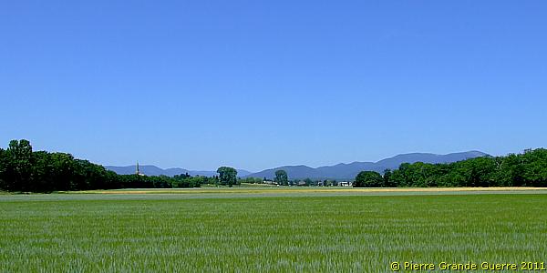
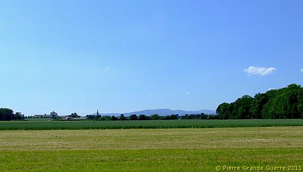
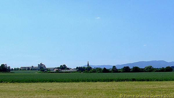
View northward at the sister village, Burnhaupt-le-Haut, centre point of the Battle of Burnhaupt-le-Haut. At the horizon the southern ridges of the Vosges.
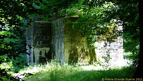
In the copse on the right we will visit our first bunker plot.
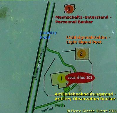
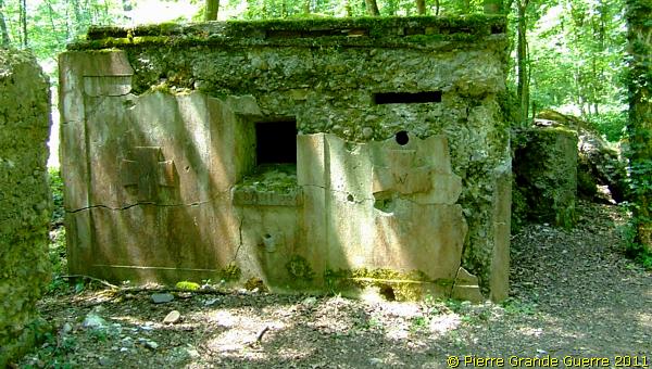
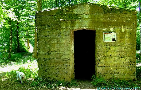
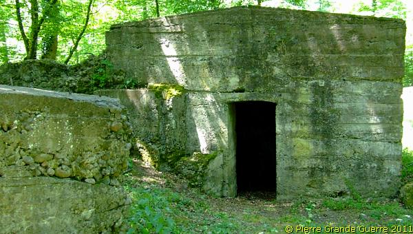
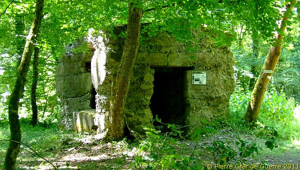
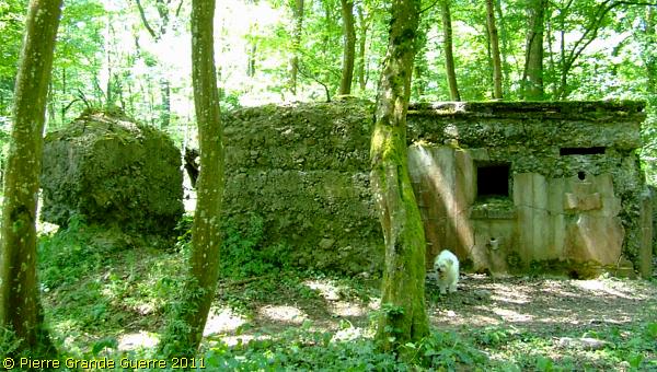
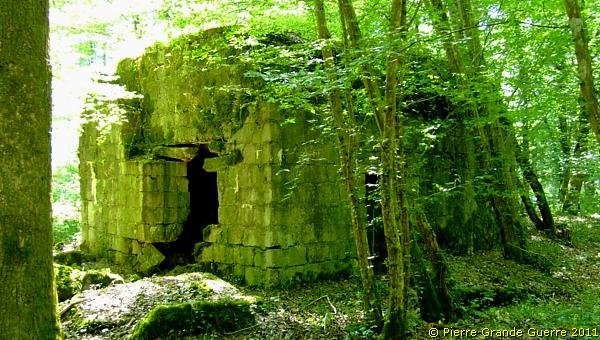
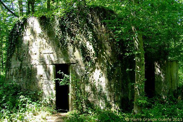
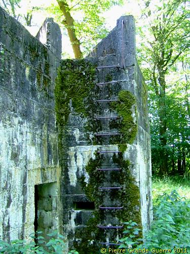
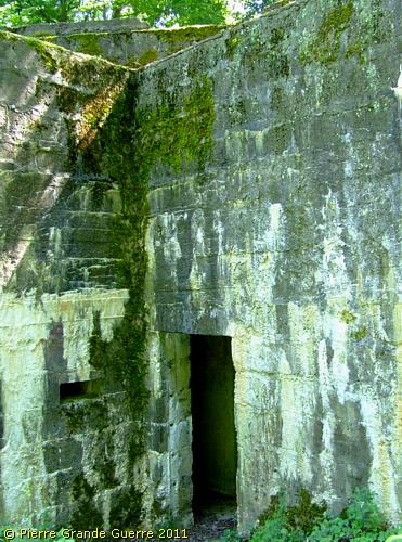
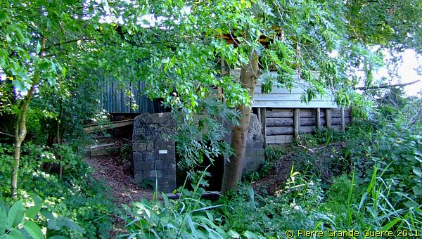
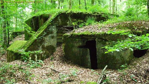
The first bunker, which we visit, is an artillery observation bunker, constructed of masonry of concrete blocks.
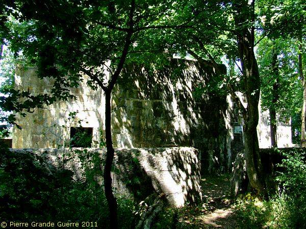
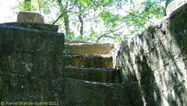
A staircase leads to the top construction for better observations.
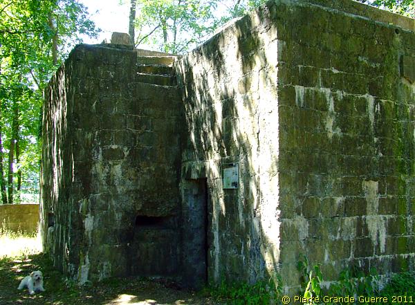
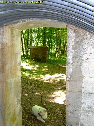
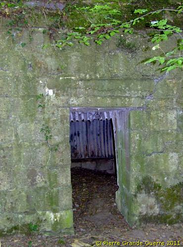
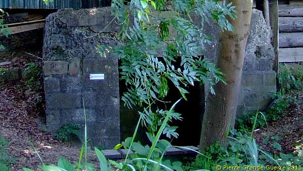
The two entrances are guarded by a loopholes.
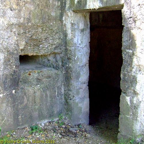
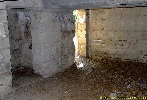
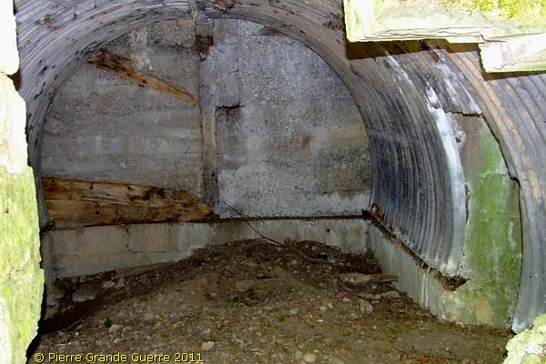
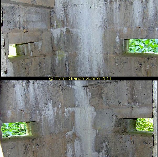
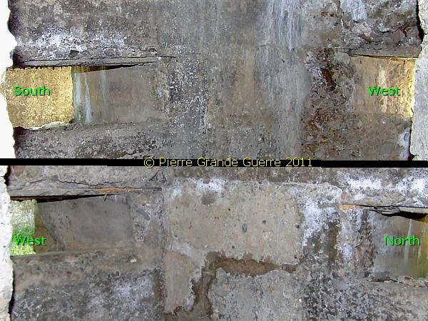
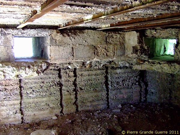
The interior of the bunker, left a sentry room guarding the entrances.
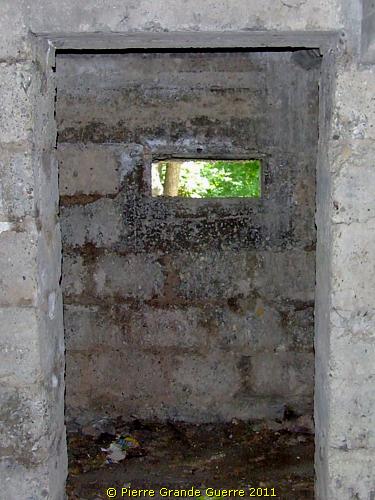
The three loopholes of the sentry room.
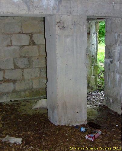
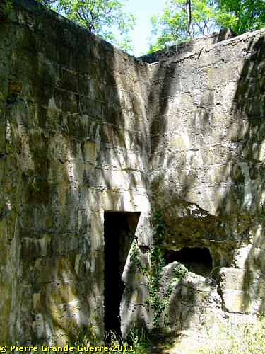
The second entrance.
Next to the bunker stands a "Blinkstelle", a light signal station.
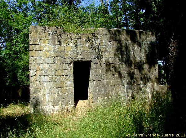
The interior.
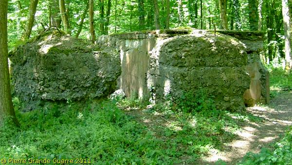
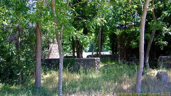
Concrete breastworks surround these bunkers.
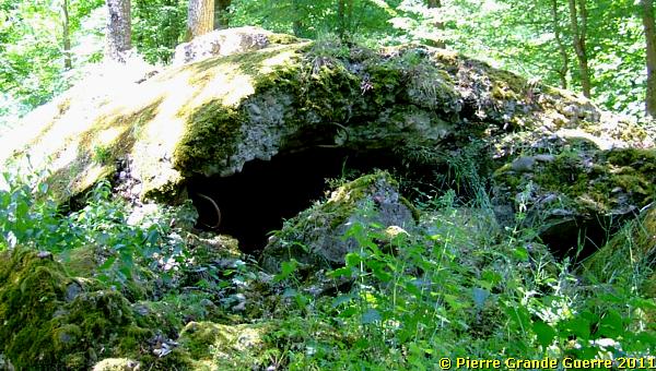
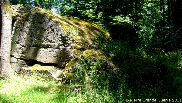
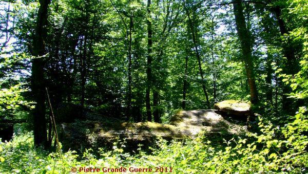
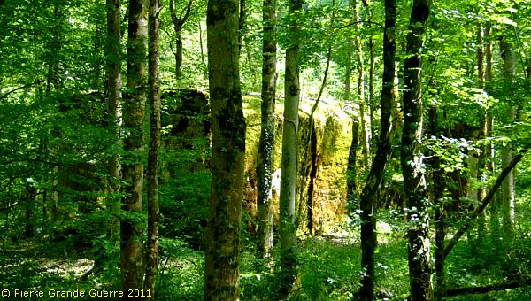
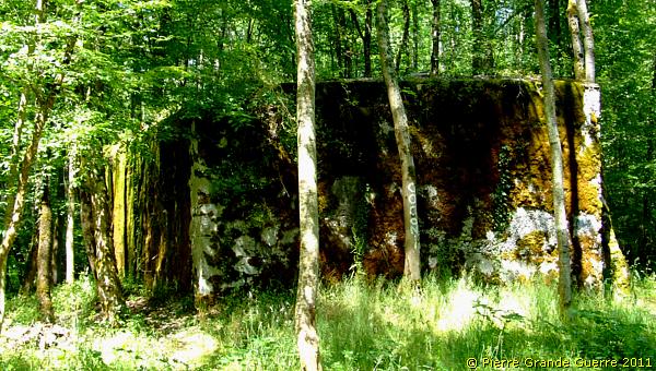
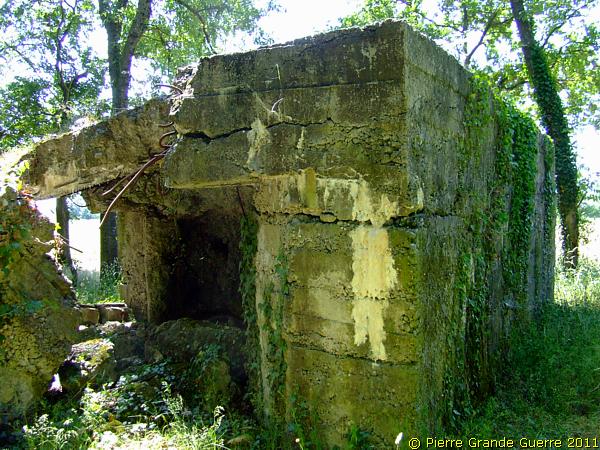
The third bunker of this plot is severely damaged.
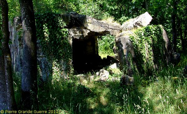
It served as a shelter bunker.
Before we continue our walk north-eastward into the "Hardtwald" wood, I offer you in the frame below some historical information. 

Burnhaupt-le-Bas - 1914-1916
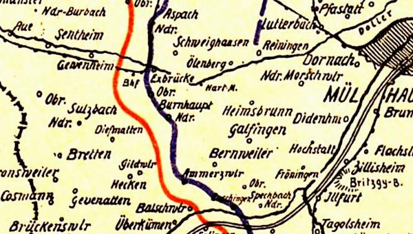
Let us first have a closer look via this 1917 sketch of L.I.R. 123 at the location of Burnhaupt-le-Bas in relation to its geographic position along the Sundgau front line.
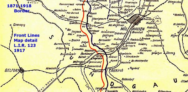
Zoomed in:
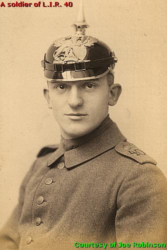
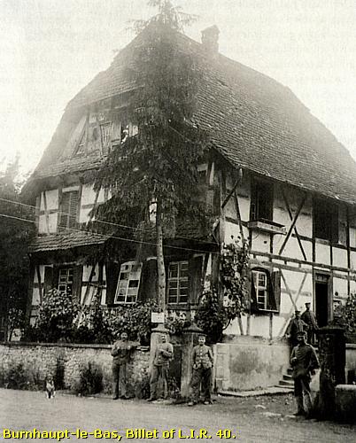
The 3rd Battalion of Landwehr Infanterie Regiment 40
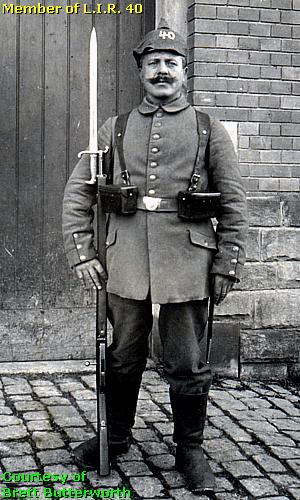
Photo: Courtesy of Brett Butterworth of “Drake Goodman’s Photostream”. Afterwards the period photographer added the regimental number on the "Felduberzug".
During the period of 1914-1916 the 3rd Battalion of the Badische Landwehr Infanterie Regiment 40, a component of the 82. Landwehr Brigade of the 12. Landwehr Division, was stationed at Burnhaupt-le-Bas or “Nieder Burnhaupt”. Major Melchers (not on this picture) commanded the 3rd Battalion from Burnhaupt-le-Bas.
The commander of L.I.R. 40, Oberst (
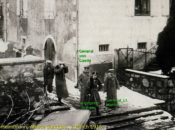
Colonel) D. Koch had his regimental headquarters at Heimbrunn, a village directly east of Burnhaupt-le-Bas.
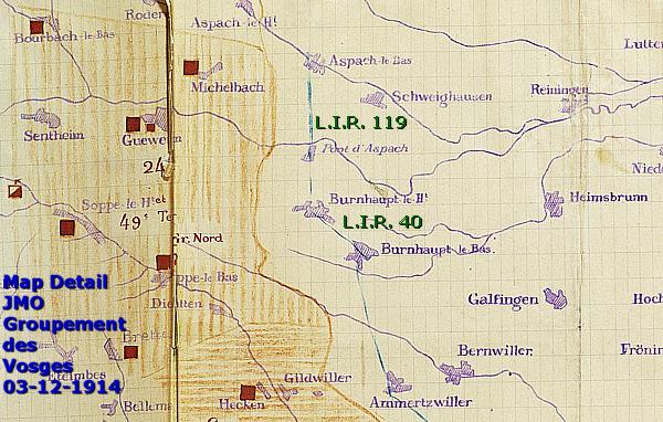
In the south the 3rd Battalion was flanked by units of L.I.R. 123, and in the north, at Burnhaupt-le-Haut (“Ober Burnhaupt”), by several companies of its own L.I.R. 40 and later on with units of L.I.R. 110. The L.I.R. 119 was at the right flank of the Burnhaupt villages at the Kahlberg and at Aspach-le-Bas.
The French units
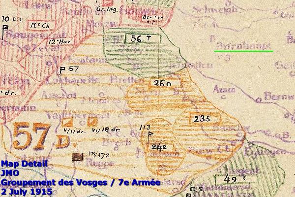
In July 1915 these German units were opposed by French units of the 114e Brigade d’Infanterie, part of the 57e Divison d’Infanterie de Réserve, a component of the Groupement des Vosges, the Vosges Army Group. The 56e Régiment d'Infanterie Territoriale, consisting mostly of older soldiers, guarded the lines opposite Burnhaupt at Guewenheim and Soppe-le-Bas.
Attacks in the region of Burnhaupt
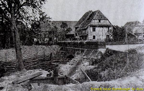
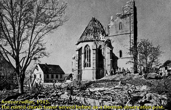
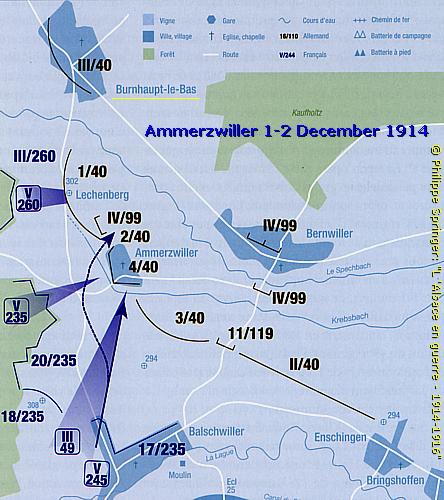
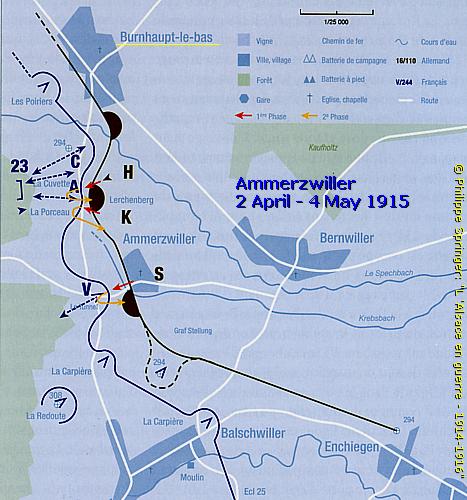
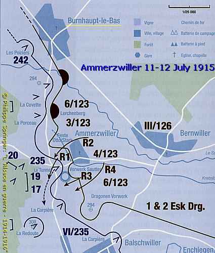
Though Burnhaupt-le-Bas was never itself the main target of French attacks, the village and it surroundings were literally sideways involved by attacks on the village, south of it, Ammerzwiller.
These battles were respectively fought on 1 and 2 December 1914, ...
... from 2 April until 4 May 1915, ...
... and on 11 and 12 July 1915.
Burnhaupt-le-Bas and Burnhaupt-le-Haut, January 1915
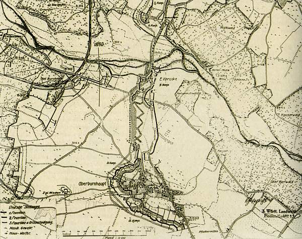
During the second week of January 1915 the fate of Burnhaupt-le Bas was directly connected to the fate of its northern sister village, Burnhaupt-le-Haut.
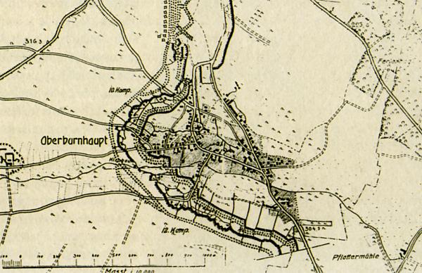
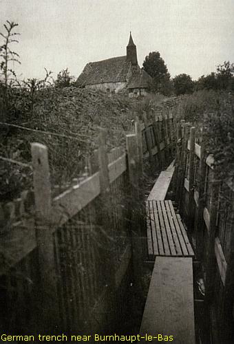
The first front line ran west of the villages and the second line was along the edge of the two villages. East of the villages, and south-east of Burnhaupt-le-Bas were 3rd line artillery positions like for instance in the wood of the Ober Hartwald, nowadays called "Hardtwald".
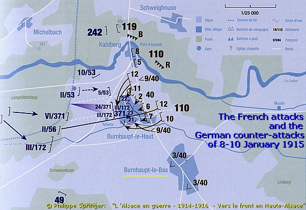
The Battle of Burnhaupt-le-Haut, 7- 10 January 1915
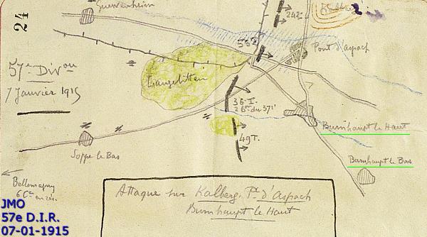
During the days of 7-10 January 1915 the village of Burnhaupt-le Bas was involved in the French attacks, which concentrated on Burnhaupt-le-Haut. The 57e D.I.R. opened the attack with preliminary artillery bombardments during the day of 7 January and in the morning of 8 January until 12.30 hrs.
During the afternoon of 8 January the units of the 371e R.I., the 3rd Battalion of the 172e R.I., 2nd Battalion of the 53e R.I., and the 2nd Battalion of the 56e R.I.T., deployed from Guewenheim and Soppe-le-Bas their first infantry attacks at Burnhaupt-le-Haut.
The Fußartillerie-Batterie 362 “von Beck”, a component of the Lothringisches Fußartillerie-Regiment Nr. 16 stationed at the Ober Hartwald, bombarded 400 French soldiers, gathered at the train station west of Burnhaupt-le-Haut, which made them start to retreat hastily for the time being. Later in the afternoon the units conquered the train station and entered the village. They were fighting in close combat in the streets.
The German 3rd Battalion had to send hastily troops from Burnhaupt-le-Bas to its sister village to assist the other companies of L.I.R. 40 defending the village.
On request of Major Melchers Oberst Koch did send from Heimbrunn also extra other units of L.I.R. 40 to reinforce the fighting units at Burnhaupt-le-Haut.
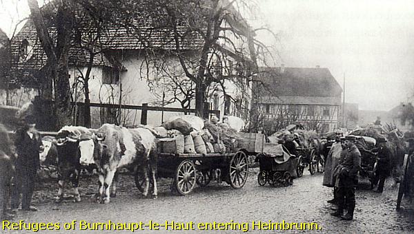
Photo: Courtesy of Ret. Col. Joe Robinson, USA
In the night of the 8 to 9 January even units of the L.I.R. 110 arrived from Schweighouse and Heimbrunn to resist the French attacks and to drive the French back, out of the village. On the 9th the French troops in the village suffered from surrounding fires of burning houses, caused by the nearby German artillery, which made them to start to retreat from the village to its western outskirts.
After two days of battle and under pressure of the German reinforcements the French troops were finally forced to retreat on 10 January to their original positions at Guewenheim and Soppe-le-Bas.

The Aftermath; German Casualties
At 10 January the Germans know to reoccupy their own former positions in and around the Burnhaupt villages. Immediately they started to reconstruct their trenches and fortifications.
During these days L.I.R. 40 counted 13 men killed, 15 wounded and 24 soldiers were missing in action.
L.I.R. 110 counted 4 officers killed and 18 killed soldiers, 1 officer wounded, 53 men wounded, and 22 soldiers were missing in action.
Compared to the French, the Germans had a relatively lower number of casualties - 150.

"Deutsche Kriegszeitung": French P.O.W.'s
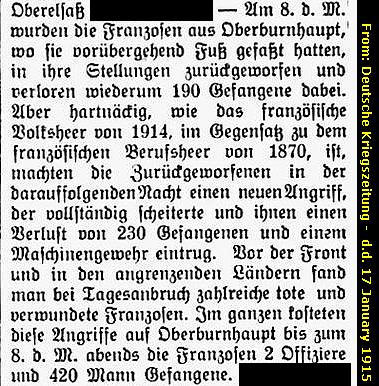
According to the weekly magazine of the period, the “Deutsche Kriegszeitung” of 17 January 1915, the Germans conquered during the fights at Burnhaupt of 8 and 9 January a French "machine-gun" and they took “2 officers and 420 men prisoner”.
The victorious tone of this quote of the “Deutsche Kriegszeitung” does not mention the wounded and killed French soldiers and the men missing in action.

French casualties
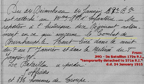
According to the French regimental war journals the situation was worse and these French attacks were rather disastrous. The 3rd Battalion of the 172 R.I., temporarily detached to the 371e R.I.,  lost during the “Battle of Burnhaupt-le-Haut” 2 officers and 336 men; approx. 19% of their unit.
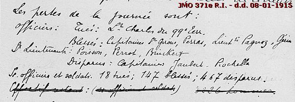
The 371e R.I. counted at the first day of the battle: two officers killed, 7 officers wounded, and 2 officers missing in action. Casualties of NCO’s and soldiers: 18 killed, 147 wounded, 467 M.I.A. (or P.O.W.), approx. 23 % of their unit . There is no casualty list to be found on the page of the 9th. After the battle, on 25 January, these high casualty numbers even forced this regiment to reorganise thoroughly.
The JMO of the 56e R.I.T. only mentions on the 8th: "2 soldiers killed and 3 wounded". Considering the advance of the 2nd Battalion and its ultimate position in the village it is most likely that these numbers were later even higher.
The total casualty number of these three French regiments were at least 984 men, or 6,5 times higher than the German losses!
From 15 January 1915 on the Germans would launch a counter-offensive, that concentrated its attacks more northward on the sector of Cernay and the Hartmannswillerkopf.

Sources: Besides the French JMO's, main source: Philippe Springer; “L ‘Alsace en guerre – 1914-1916 – Vers le front continu en Haute-Alsace”.
We now continue our route entering the "Ober Hartwald", or nowadays named the Hardtwald. We cross the N 466 via a bridge.
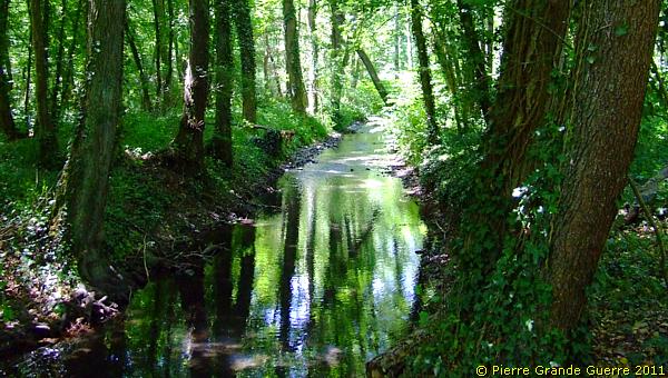
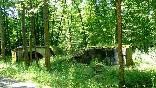
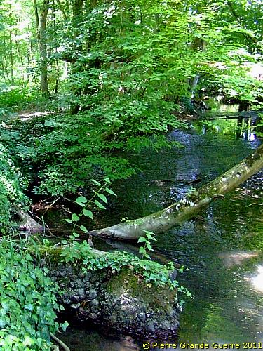
Along a parallel channel of the Doller river we visit our second bunker plot, starting with this ammunition bunker.
Next a damaged shelter bunker.
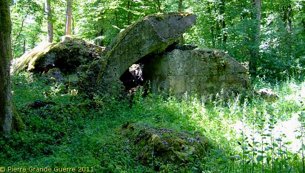
The second ammunition bunker at this plot.
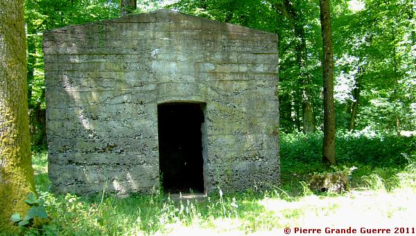
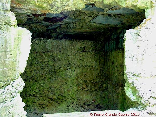
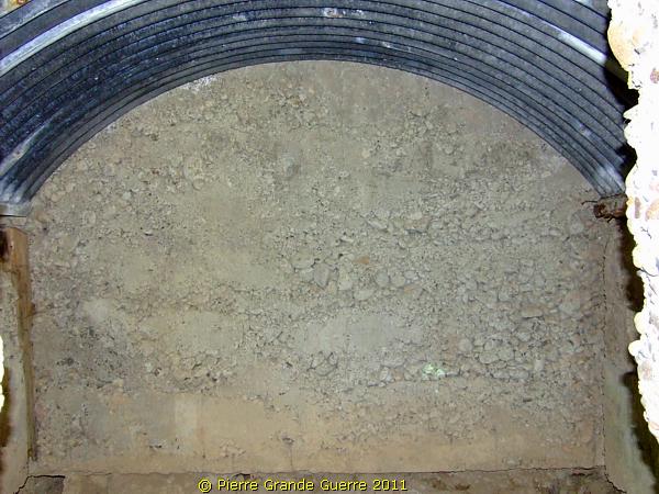
The interior.
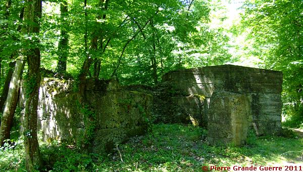
The second shelter bunker with relics of the breast works.
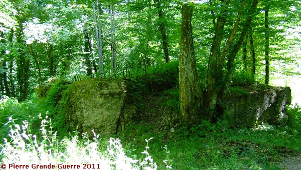
The third, damaged shelter bunker of this plot.
We follow the signs, which will lead us to ...
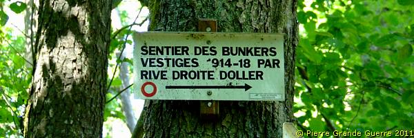
... the right bank of the Doller.
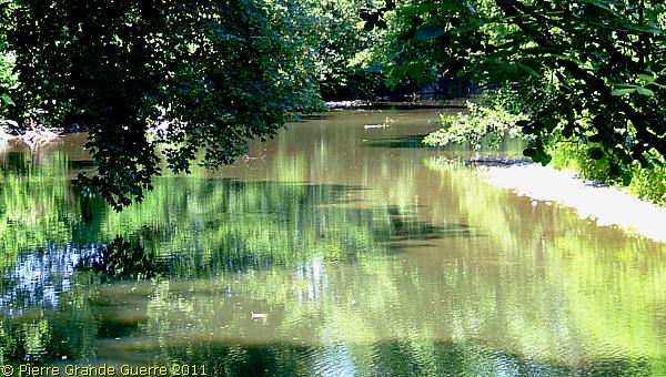
From the Doller we continue our walk south-eastward, ...
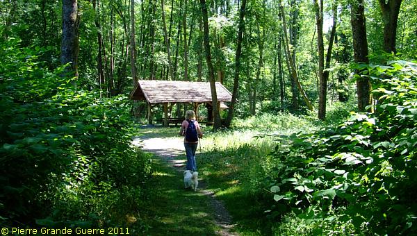
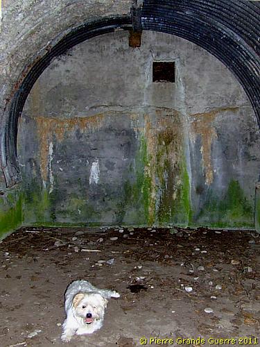
My loyal companions: my late wife Chris van der Neut (+ 08-05-2018) and Bobby the Trenchdog (+ 20-07-2015)
... roughly following the parallel channel, the Steinbächlein.
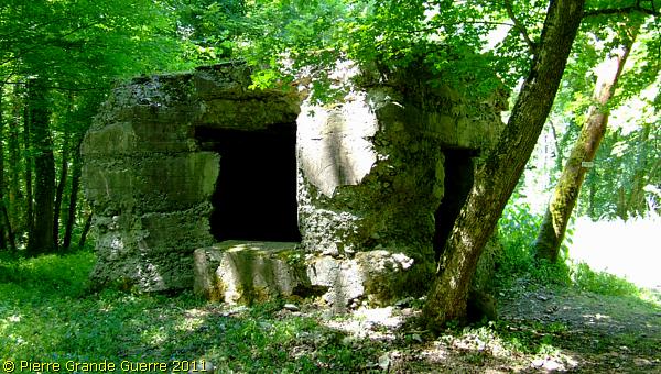
After some 400 m. we arrive at this bunker,  which served as a dressing station.
It stands at the start of a forest lane ...
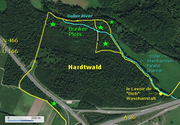
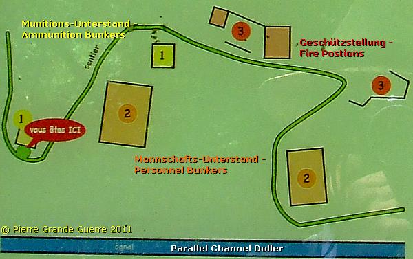
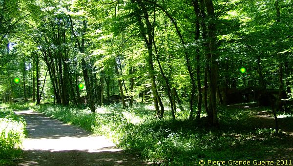
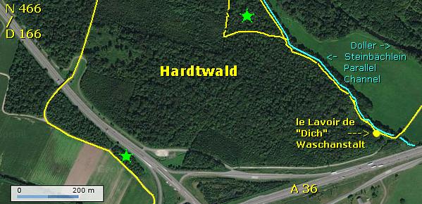
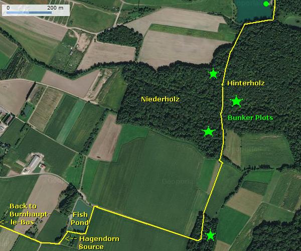
... along the third bunker plot. The green dots mark some of the bunkers, hidden under the trees.
The view point of this photo is to be found below in the sketch.
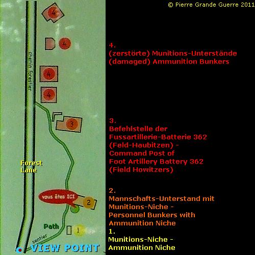
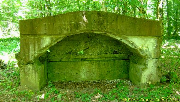
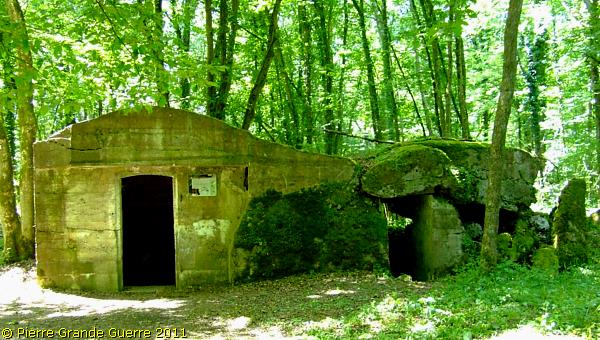
We will visit this personnel bunker with in front of it an ammunition niche.
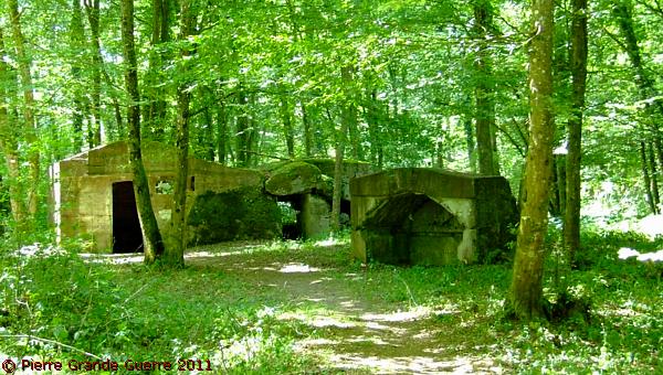
The concrete ammunition niche.
The personnel shelter bunker, partly damaged.
We continue to the ...
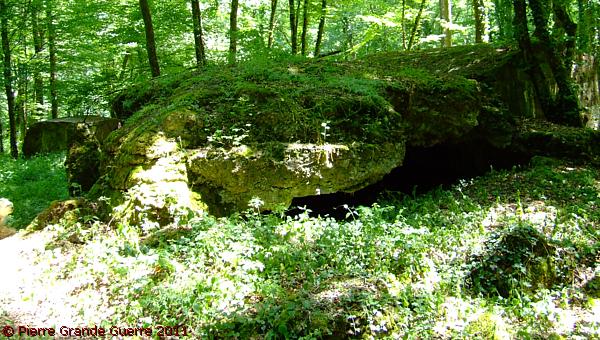
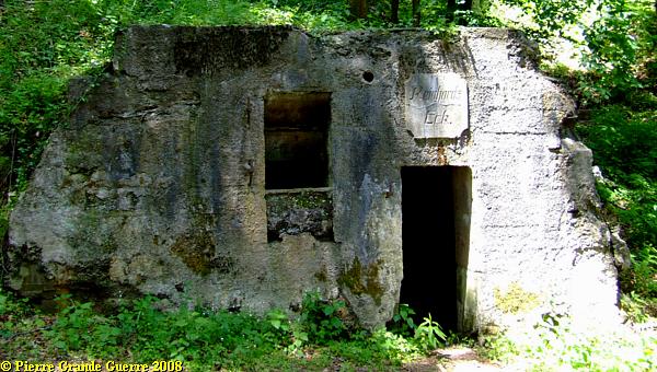
... "Befehlstelle der Fussartillerie-Batterie 362", or ...
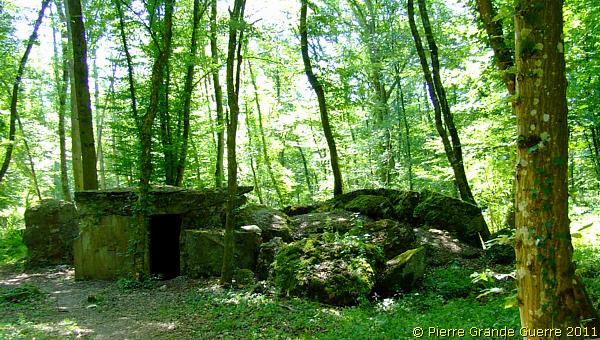
... the command Post of the Foot Artillery Battery 362 (Field Howitzers).
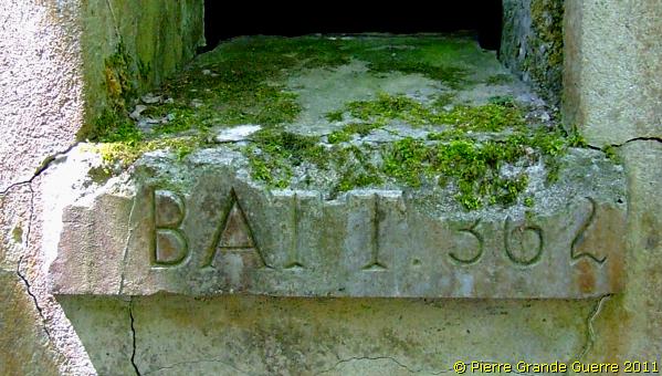
The inscription of Fussartillerie-Batterie 362.
The bunker is decorated with Prussian crosses, ...
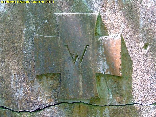
... marked with a W of Kaiser "Wilhelm", ...
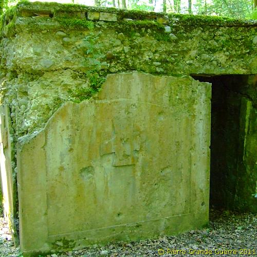
... which is also the shape of the distinction of the Iron Cross.
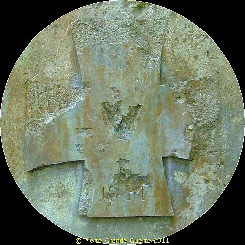
A view at the interior.
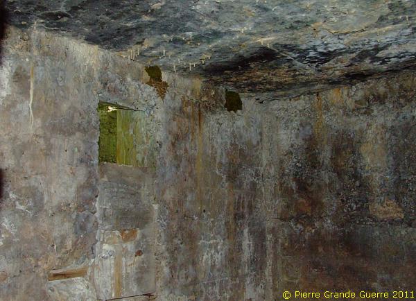
The rear side of the Command Post. Notice the thickness of the walls behind the bunker.
This spot made me think of this period photo.
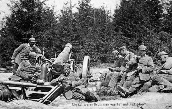
We leave the "Befehlstelle" for the next three bunkers of this plot: ...
... two destroyed ammunition bunkers, ...
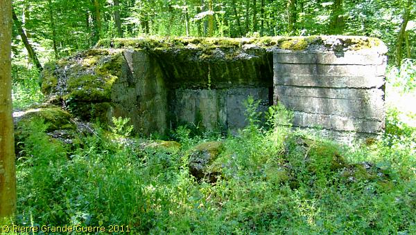
...
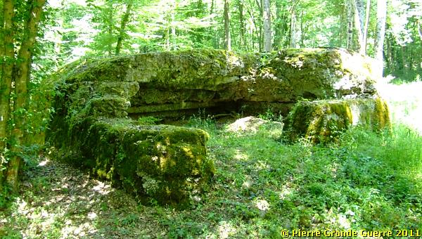
... and an ammunition bunker with a niche in front of it.
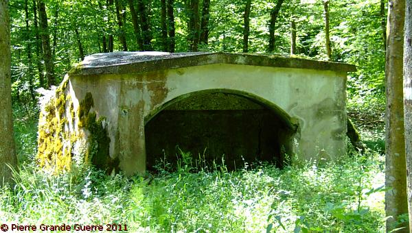
This ammunition bunker is still in a good condition.
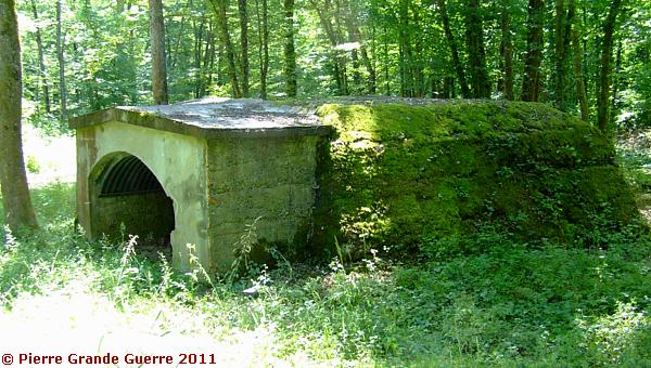
We leave this position and we follow the Steinbächlein southward.
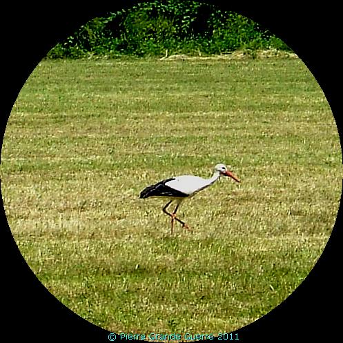
From the edge of the wood we spot on an open field this stork.
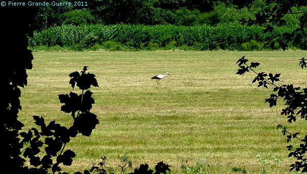
The stork forms the national symbol of the Alsace.
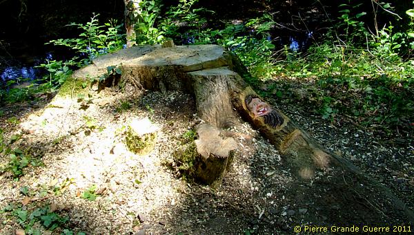
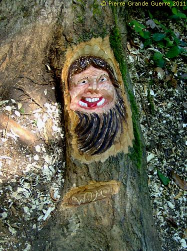
Not only the stork, but also an unknown local artist, "W.M.", helps us to cheer us up.
This funny goblin reminds us of our great privilege to enjoy our lives in the peaceful Europe of nowadays.
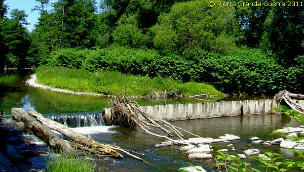
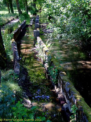
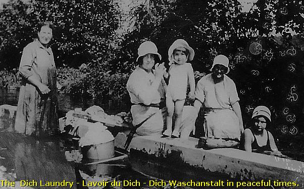
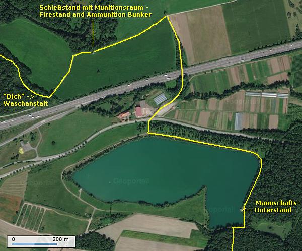
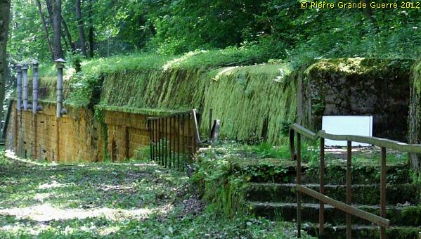
Now we arrive at the location of the “Dich Waschanlage”. These walls in the channel were here already before the French Revolution (1789).
They served a civilian purpose: a laundry for the Burnhaupt women, called the “Dich Waschanlage” or “Le Lavoir de Dich”. Probably the soldiers, stationed here, used it also for their laundry. Burnhaupt women would use the laundry until the 1960s.
We cross a small bridge over the Steinbächlein to continue first north-westward and later southward.
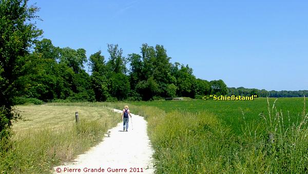
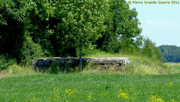
Out of the wood we feel the heat, when we walk in the open field to a fire gallery bunker.
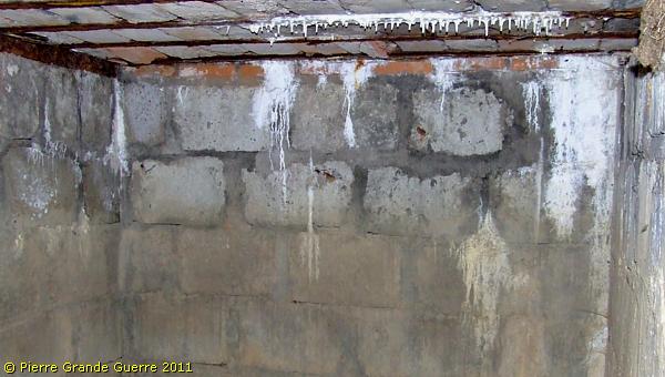
The loopholes of the "Schieẞstand mit raum", facing westward, are filled in.
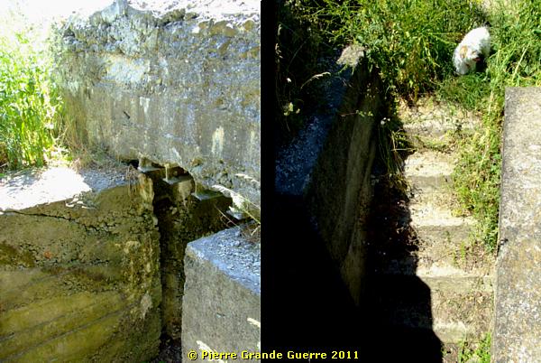
The entrance and staircase.
The two rooms interior with an ammunition niche.
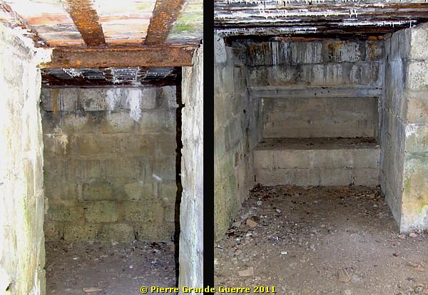
The interior of the gallery with the filled in loopholes.
We leave the "Schieẞstand mit raum" to continue southward, crossing the A 36 safely via a bridge, to arrive at the northern bank of the "Plan'd'eau" of Burnhaupt-le-Bas. 
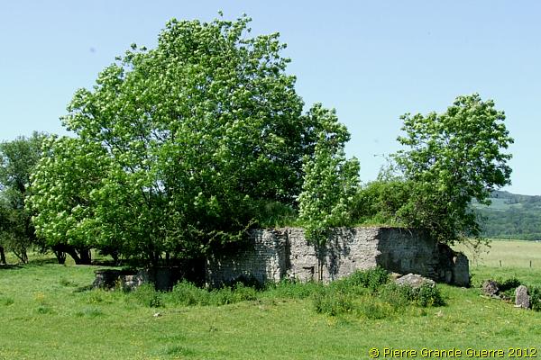
Across the lake, at the south-east bank, we spot a bunker.
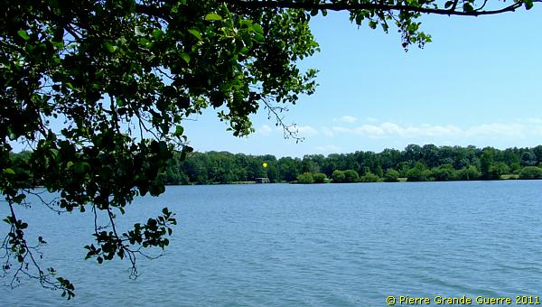
A tele view over the lake.
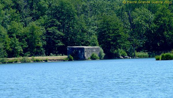
View from the south-east bank of the lake at Burnhaupt-le-Bas.
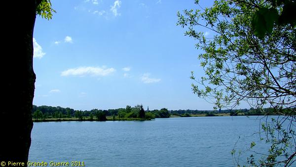
Tele view of Burnhaupt-le-Bas.
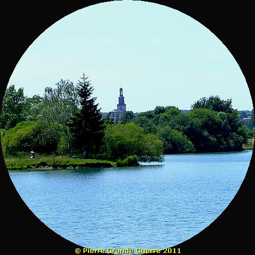
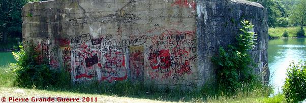
The lake forms now a recreation attraction for the local youth. The bunker is covered with modern graffiti, alas.
The same bunker, seen from the south, sinking slowly in the lake.
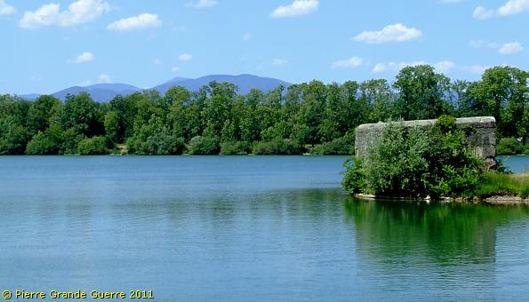
From this bunker at the lake we continue southward ...

.... and we enter the Hinterholz wood for a plot of 5 bunkers.
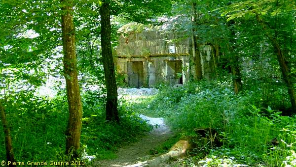
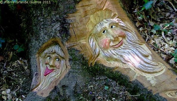
At the right side of the path we find this time 2 funny goblins.
The first bunker is a double one. Considering its state and large windows it may have served as an officers bunker.
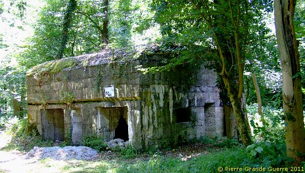
Next a second personnel bunker with chicane shaped entrances.
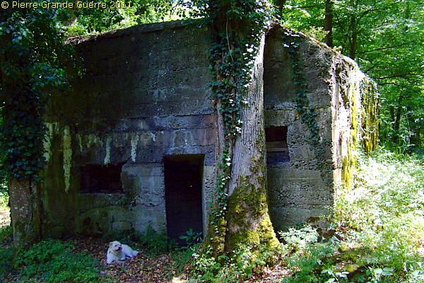
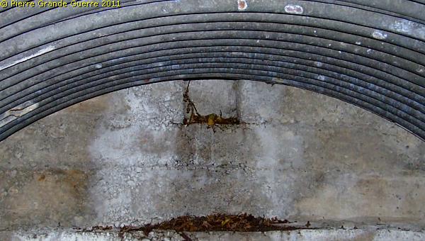
The interior. Notice the 45° walls of the entrances.
The ceiling is still in a perfect state.
The third bunker is an ammunition bunker.
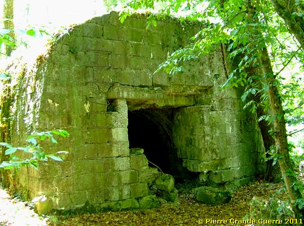
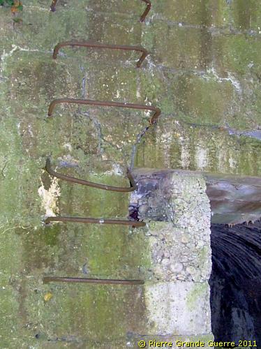
The ladder suggests that the roof may have been used as an observation post.
The interior.
Almost hidden by the vegetation, two bunkers next to each other.
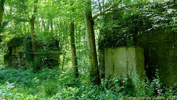
This shelter bunker possesses two chicane shaped entrances. One of these entrances is also protected by a concrete wall in front of it.
Only a half is left of this twin shelter bunker.
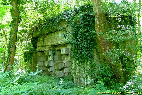
We continue some 200 m. southward.
At the east side of the path we detect a large concrete structure: ...
.. a double shelter bunker for infantry soldiers.
The two entrances on the north-east side.
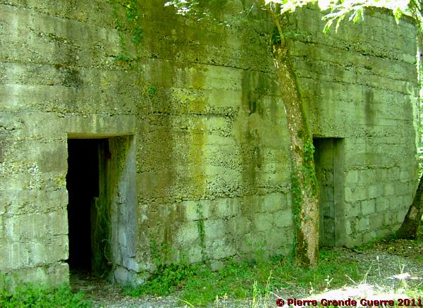
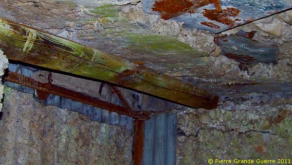
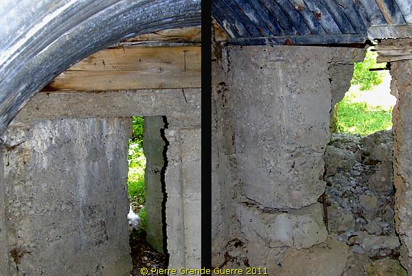
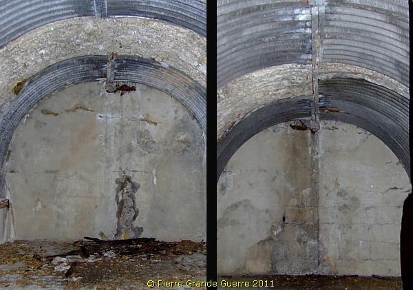
The interiors of the "left" and the "right" bunker. Notice the good condition of the metal parts of the ceilings.
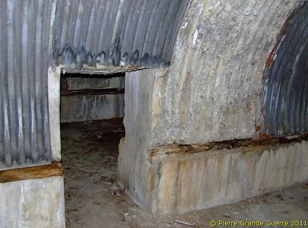
View from the right bunker via the connecting door into the left bunker.
We continue some 150 m. southward.
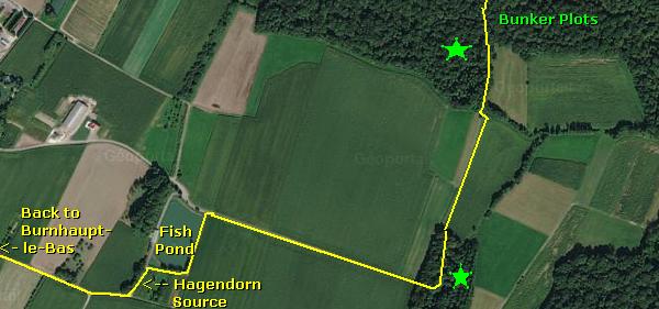
At the western side of the path we find a double shelter bunker.
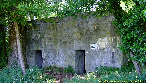
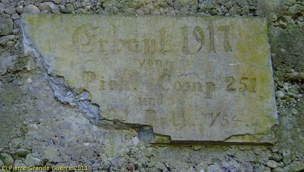
Whenever I find an original inscription, even if it is almost illegible, I always get rather excited.
"Constructed 1917 by Pioniere Compagnie 251 and .... Batt VII/54"
The interior of the left bunker.
The interior of the right bunker.
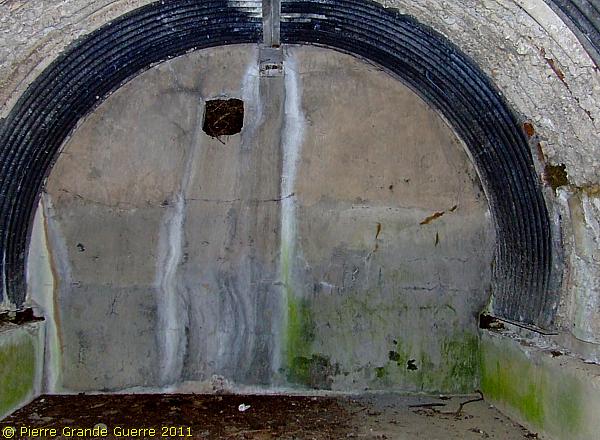
We leave the Hinterholz, cross the open field for some 500 m. View north-westward at Burnhaupt-le Bas.
We arrive at the north-western edge of the Limberg wood to find the last bunker of our visit.
Like the first bunker with which we started our walk, this bunker served also as an artillery observation post, with a staircase to the roof.
It is almost identical to "our" first observation post, more to the north of the village.
The interior possesses two rooms.
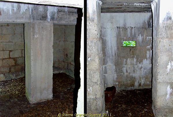
The smaller room, a sentry room, with three loopholes, guarding the two entrances.
The rear side of the artillery observation post.
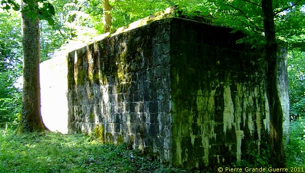
We leave the wood and we cover again some 500 m. westward in the open field to our last goal.
At the edge of the fishing pond we will find a rather confusing structure, covering the "Hagendorn" source.
Beneath it we will find the typical concrete block structure which we were seeking.
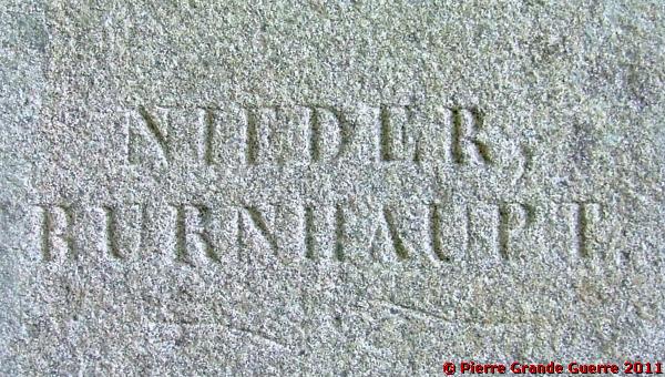
Although we are at first a bit disappointed by the state of this spot, we are rewarded by finding a well-cut German inscription.
From the Hagendorn source we continue north-westward to return to our car, parked at the foot of the village church of Burnhaupt-le-Bas.
by Pierre Grande Guerre 29 Nov, 2019
by Pierre Grande Guerre 14 Nov, 2019

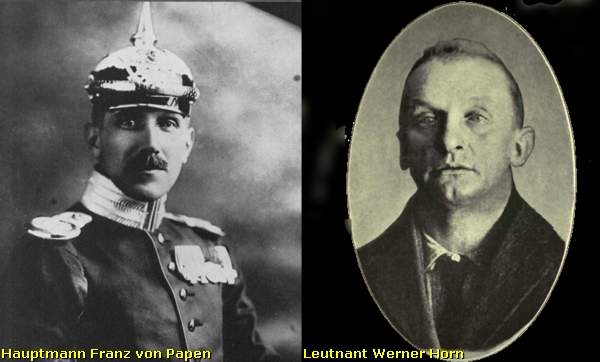
Inleiding: Franz Von Papen & Werner Horn; schaker en pion

Onlangs stuitte ik in een oud boek (1) van 1919 op een opmerkelijk verhaal over een Duitse Luitenant, die in begin februari 1915 een half geslaagde bomaanslag pleegt op een spoorbrug over een grensrivier tussen de Verenigde Staten en Canada. Ook al staat de bekentenis van de dader, Werner Horn, deels in het boek te lezen, de naam van zijn opdrachtgever zal Horn blijven verzwijgen. Na wat verder zoeken vond ik ook de naam van Horn’s opdrachtgever, Franz von Papen, een van de aangeklaagden van het latere Neurenberg Proces in 1946.

In een Grote Oorlog als de Eerste Wereldoorlog  is Horn’s aanslag op de brug uiteraard slechts een bescheiden wapenfeit. Toch vermoed ik dat dit relatief onbekende verhaal, dat de geschiedenis is ingegaan als de “ Vanceboro International Bridge Bombing ”, nog interessante kanten kent. Het is onder andere een spionageverhaal over hoe in een groter plan een sluwe schaker zijn naïeve pion offert.  

Beknopte situatieschets Canada en de Verenigde Staten in 1915

by Pierre Grande Guerre 01 Oct, 2019

This trip we start at the Léomont near Vitrimont and we will with some exceptions concentrate on the Battle of Lorraine of August-September 1914 in the area, called, the “Trouée de Charmes”, the Gap of Charmes.

After the Léomont battlefield we continue our explorations to Friscati hill and its Nécropole Nationale. Next we pay a visit to the battlefield of la Tombe to go on to the Château de Lunéville. There we cross the Vezouze to move on southward to the Bayon Nécropole Nationale. At Bayon we cross the Moselle to pass Charmes for the panorama over the battlefield from the Haut du Mont. North-west of Charmes we will visit the British Military Cemetery containing 1918 war victims. From Charmes we go northward to the battlefield of the First French Victory of the Great War, the Battle of Rozelieures of 25 August 1914. North of Rozelieures we will visit the village of Gerbéviller. From there we make a jump northward to visit the ruins of Fort de Manonviller to finish with an interesting French Dressing Station bunker, west of Domjevin.

by Pierre Grande Guerre 18 Sept, 2019
Though we depart from Badonviller in the Northern Vosges , we make a jump northward to the east of Lunéville and Manonviller. We start at Avricourt on the border of Alsace and Lorraine. From the Avricourt Deutscher Soldatenfriedhof we explore the southern Lorraine battlefields ; the mine craters of Leintrey , the Franco- German war cemetery and Côte 303 at Reillon , and some German bunkers near Gondrexon , Montreux , and Parux.
by Pierre Grande Guerre 13 Sept, 2019
We depart from Raon-l’Etape to drive northward via Badonviller to Montreux to visit the  "Circuit du Front Allemand 14-18", the  Montreux German Front Walk 14-18,  with its trenches , breastworks , and at least twenty bunkers.
by Pierre Grande Guerre 08 Sept, 2019
North-east of Nancy, east of Pont-à-Mousson, and south-east of Metz we visit the battlefields of the Battle of Morhange of 14 until 20 August 1914. We follow mainly topographically the route of the French advance eastward over the Franco-German border of 1871-1918.
During this visit, we try to focus on the day that the momentum of the battle switched from the French side to the advantage of the Bavarian side: the day of 20 August 1914, when the Bavarians rapidly re-conquered the territory around Morhange , being also the day of the start of their rather successful “Schlacht in Lothringen”.
We will visit beautiful landscapes of the "Parc Naturel Régional de Lorraine", memorials, ossuaries, and cemeteries. Sometimes we will divert to other periods of the Great War, honouring Russian and Romanian soldiers, who died in this sector. We start our route at the border village of Manhoué, and via Frémery, Oron, Chicourt, Morhange, Riche, Conthil, Lidrezing, Dieuze, Vergaville, Bidestroff, Cutting, Bisping we will finish in Nomeny and Mailly-sur-Seille, where the Germans halted their advance on 20 August 1914, and where they constructed from 1915 some interesting bunkers.
by Pierre Grande Guerre 05 Sept, 2019
South of Manhoué we start this trip at Lanfroicourt along the French side of the Franco-German 1871-1918 border, marked by the meandering Seille river. We visit some French bunkers  in Lanfroicourt, near Array-et-Han and in Moivrons. From there we go northward to the outskirts of Nomeny and the hamlet of Brionne to visit the ( second ) memorial, commemorating the events in Nomeny of 20 August 1914. We continue westward to finish at the Monument du Grand Couronné at the Côte de Géneviève, a former French artillery base, which offers several panoramic views over the battlefield.
by Pierre Grande Guerre 28 Aug, 2019
North of Pont-à-Mousson and south of Metz, we explore the relics of German bunkers and fortifications along the Franco-German 1871-1918 border. We start at Bouxières-sous-Froidmont to visit the nearby height of the Froidmont on the front line. This time we will show only a part of the Froidmont, focusing on its military significance.  From the Froidmont we continue via Longeville-lès-Cheminot and Sillegny to the “Forêt Domaniale de Sillegny” to explore some artillery ammunition bunkers. Next we continue to Marieulles for its three interesting bunkers and to Vezon for its line of ammunition depot bunkers. From Vezon we continue to the “Deutscher Kriegsgräberstätte Fey – Buch”. From Fey we go eastward, passing 6 bunkers near Coin-lès-Cuvry to finish our trip at the top construction of the “Feste Wagner” or “Fort Verny”, north of Verny.
by Pierre Grande Guerre 25 Aug, 2019

From Badonviller or the Col du Donon we continue north-eastward for a visit to an extraordinarily well restored sample of German fortifications:  the Feste Kaiser Wilhelm II, or Fort de Mutzig,  lying on a height, some 8 km. away from the 1871-1918 Franco-German Border.

by Pierre Grande Guerre 23 Aug, 2019
We concentrate on the German side of the front around "Markirch", Sainte Marie-aux-Mines, the so-called "Leber" front sector . We first pay a visit to the Sainte-Marie-aux-Mines Deutscher Soldatenfriedhof, and next to the southern side of the Col de Ste. Marie for the many interesting bunkers of the German positions at the Bernhardstein, at the north-eastern slopes of the Tête du Violu. On the next photo page about the Haut de Faîte we will continue with a visit to the northern side of the pass and the "Leber" sector.
More posts
Share by: