SOMME BRITISH Sector - Ulster Tower - Thiepval Wood Trenches - Ancre Cemetery
Years of visit: 2005, 2007, 2008, 2010, 2011, 2012
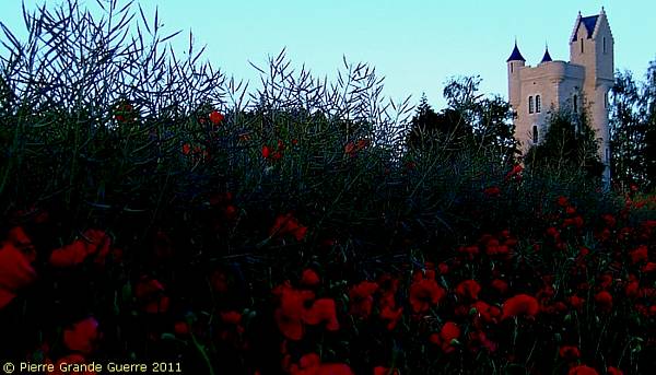
We continue in the area around Thiepval with visits to the Ulster Tower, Mill Road Cemetery, and the Thiepval Wood trenches, to end this photo report at the Ancre British Cemetery.
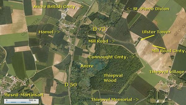
Thiepval
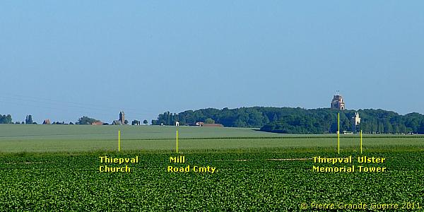
Thiepval seen from Hamel. Left the Ulster Tower.
The German trenches at Thiepval and the Schwaben Redoubt

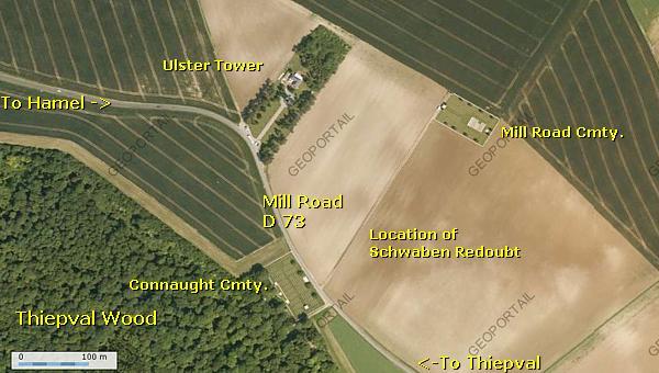
The Ulster Tower has been build in 1921 on the location of the German “Schwaben Redoubt”, a redoubt surrounded by a maze of trenches and machine gun posts.

From the park at the foot of the Ulster Tower : a south-east to north-west panorama, in the opposite direction of the army panorma, which gives an indication of the overview, the German 26th Reserve Division possessed from the Schwaben Redoubt.

The ploughed land in the foreground marks the location of the first line trenches of the redoubt. The wood on the horizon is the New Foundland Memorial Parkof Beaumont-Hamel.
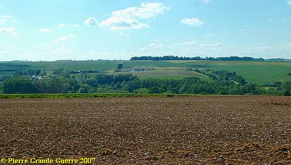
The trees in the valley belong to the Ancre valley. View in the direction of Hawthorn Ridgeand Hawthorn Crater.
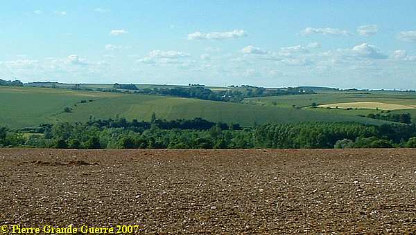
View in the direction of Redan Ridge.
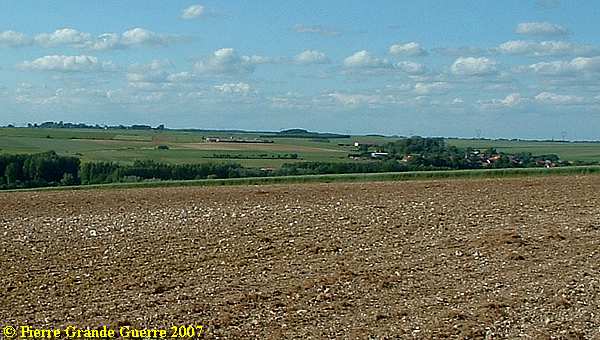
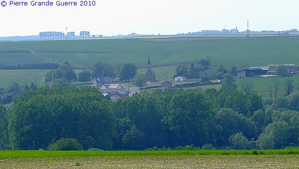
Teleview : the village of Hamel.
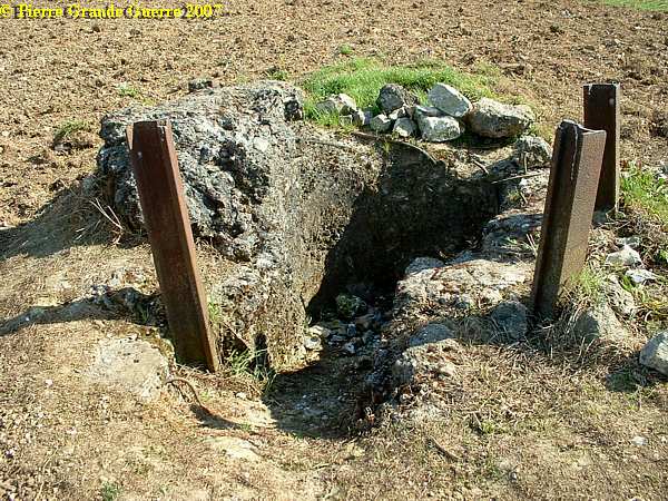
The only relic , left of the Schwaben Redoubt , is this German Observation Post.
On the other side, on top of the hill , behind the Tower , lies the Mill Road Cemetery .

Before we continue later on this page with our visit to the Ulster Tower and it's Visitors Centre, I show you a photo impression of my visit to the Mill Road Cemetery, made in May 2010.
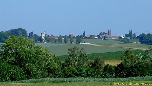
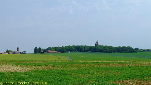
View south -west from the track upward the former location of the Schwaben Redoubt: Thiepval village (left) and the wood around the Thiepval Memorial (right). The asphalt road (centre) used to be called in wartimes "Mill Road".
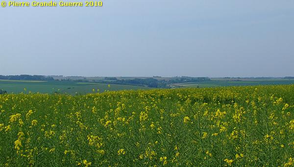
From the same track upward to the cemetery ; a view westward over the Ancre Valley in the direction of Hawthorn Ridge (centre).
The e ntrance to the Mill Road Cemetery.
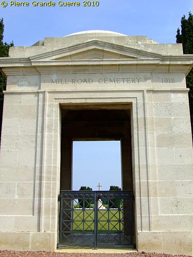
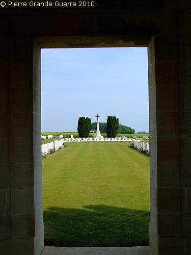
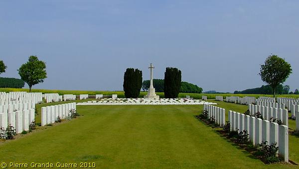
Mill Road Cemetery
(called
at one time Mill Road Cemetery No.2) was made during the spring of 1917, when
the German withdrawal to the Hindenburg line allowed the battlefield to be
cleared. At the Armistice, it contained 260 burials, but was then greatly
enlarged when graves were brought in from the battlefields of Beaumont-Hamel,
St. Pierre
Divion
, and
Thiepval
and from former, smaller cemeteries in this area. There are now 1.304
Commonwealth servicemen of the First World War buried or commemorated in the
cemetery. 815 Of the burials are unidentified. The cemetery was designed by
Sir Herbert Baker.
Source
: Commonwealth War Graves Commission
A view south-eastward.
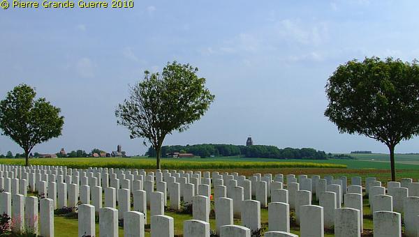
Rather exceptional : many headstones in front of the Cross of Sacrifice are laying flat.
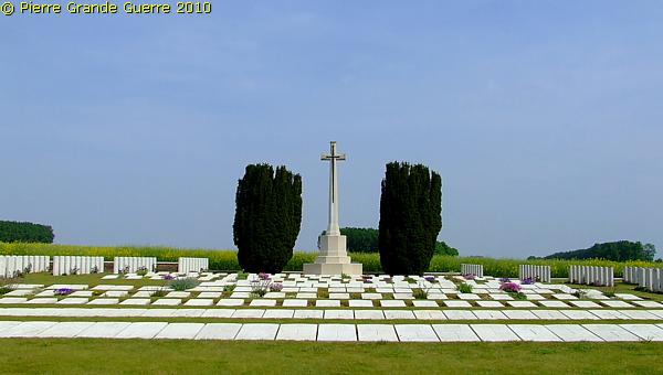
The flat headstones
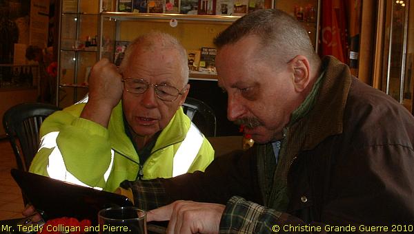
I asked my old friend, Mr. Teddy Colligan, Custodian of the Ulster Tower, about the reason for this exceptional phenomenon of the flat headstones. Mr. Teddy explained to me, that below this particular spot on the cemetery there is still a German bunker of the Schwaben Redoubt, that slowly sinks more deeper and deeper into the bottom. This sinking bunker causes the instability of the headstones, which were from time to time falling down. The CWGC authorities decided then to prevent this and let the headstones on top of the bunker lay in a horizontal position.

I leave the cemetery to continue our visit...
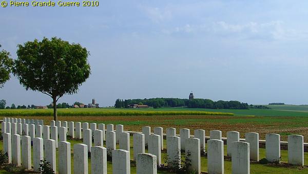
... to the Ulster Tower Visitor Centre and Thiepval Wood.
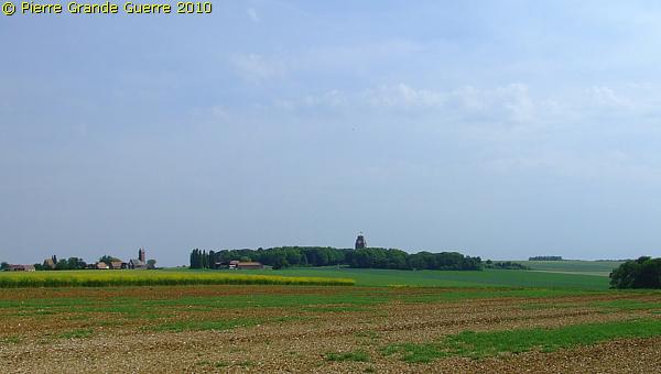
The Battle for the Schwaben Redoubt
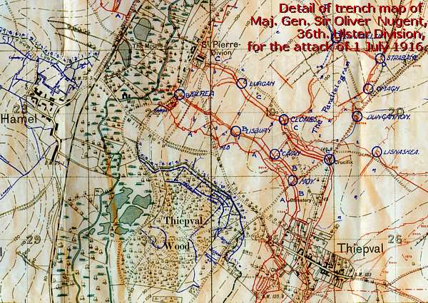
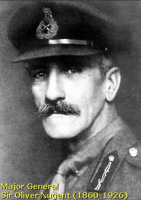
At 1 July , 1916, at 7.30 AM the Ulster soldiers attacked fom their first line in Thiepval Wood, the Schwaben Redoubt , or Hansa Stellung , on the other side of Mill Road, on that time occupied by units of R.I.R. 99 and R.I.R. 119.

Within 2 hours the 36th Ulster Division succeeded to overwhelm 5 lines of German trenches at the plateau around the location of the nowadays Ulster Tower and Mill Road Cemetery.
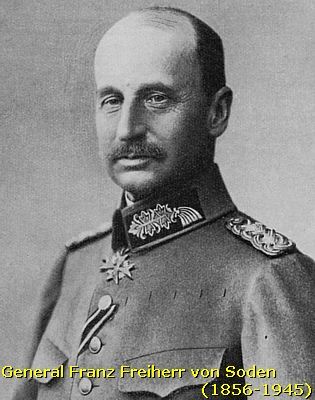
Order of Gen. von Soden of the 26th Reserve Division to Major Roesch (B.R.I.R.8) and commander of the 3rd group to counterattack the Ulster troops , occupying the Schwaben Redoubt , d.d. 1 July 1916, 9.55 AM:
“ Enemy
has forced
his way into
the
Schwaben
Redoubt. 2nd
Battalion Bavarian
Reserve Infantry
Regiment 8, with
1st Machine Gun Company and
one
platoon
of the
Musketen
Company
is subordinated
to
52
Reserve Infantry
Brigade. The Battalion is to
move immediately
, dealing
with
any
enemy
encountered
, to
the
Ancre
Valley and
is to
advance to
the
second position
via Stallmulde
( between
Grandcourt and
Miraumont
). Sector South I to
South III is to
be
occupied
and
held, with
main
effort on the
right
flank. 52 Reserve Infantry
Brigade will
be
kept
informed
from
here.
Freiherr
von
Soden.”
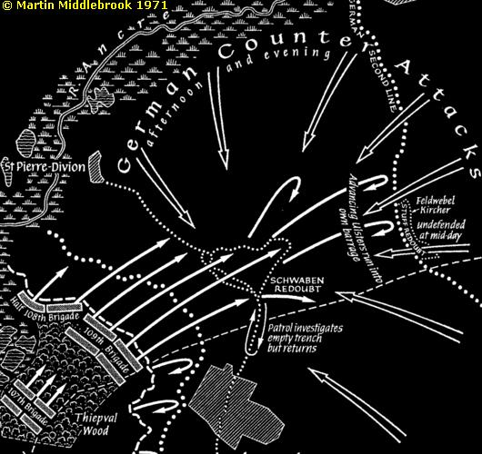
The German counter-attack was planned to be deployed by 3 groups : Group 1 under command of Major Präger , Group 2 under command Major Beyerköhler , and Group 3 under Major Roesch . These attack groups , consisting of units of B.R.I.R. 8, I.R. 180, and R.I.R. 119, attacked the Schwaben Redoubt from the north and the east at 16.00 hrs ..
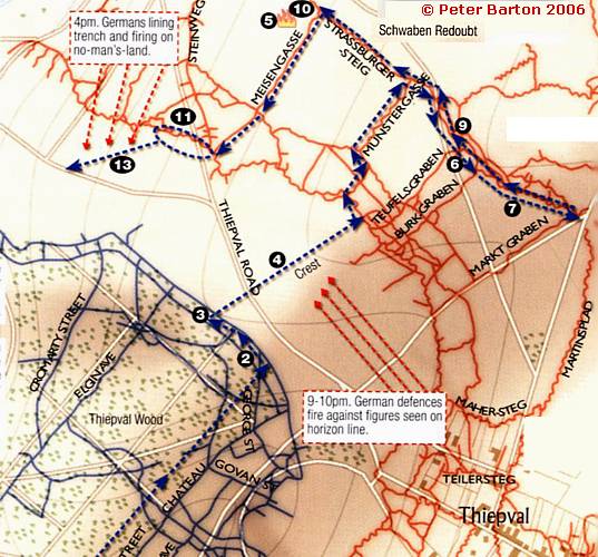
Alas at the end of the day, after 14 hours of fighting, the 8th and 9th Royal Irish Rifles, who penetrated into the Schwaben Redoubt and beyond, were forced to withdraw by their own artillery, by German machine gunfire, and fierce German counter attacks, back into Thiepval Wood. The progress of the Ulster Division on 1 July was
the most advanced of all the other British army units!

A view from just outside the hamlet of Thiepval, from the marker on the period picture, “Crucifix”.

The Ulster Tower is an Ulster Memorial to commemorate the heroic actions of the 36th Ulster Division.
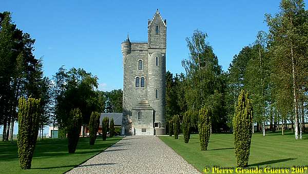
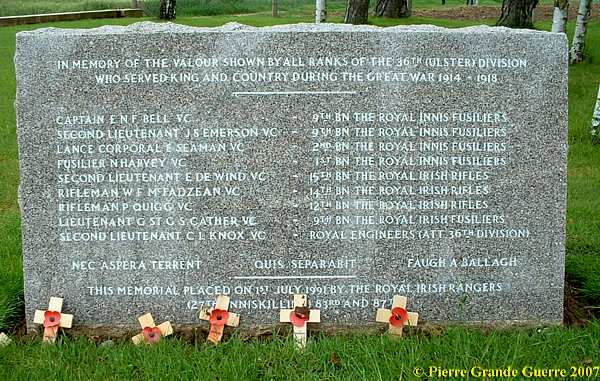
In it’s well kept garden around it , you will find a remembrance stone for Ulster Winners of a Victoria Cross during the Great War.
The friendly Mr. Teddy Colligan , Custodian of the Ulster Tower , ...

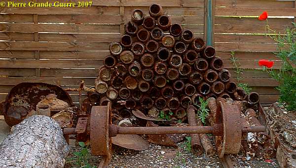
... would guide us through Thiepval Wood, telling us the story of the Ulster 36th Division. Mr. Teddy restored himself this toffee apple trench mortar.

Some
other
steel relics
to
be
found at the
recommendable
Visitor's
Centre of
Mrs. Phoebe and
Mr. Teddy Colligan.
(Anno 2019 Mrs. and Mr. Colligan have retired. The
Visitor's Centre is still open!)
In 2012, when the Colligan Couple unexpectedly prolonged their Guardianship of the Tower , we attended one of the many presentations of Mr. Teddy.
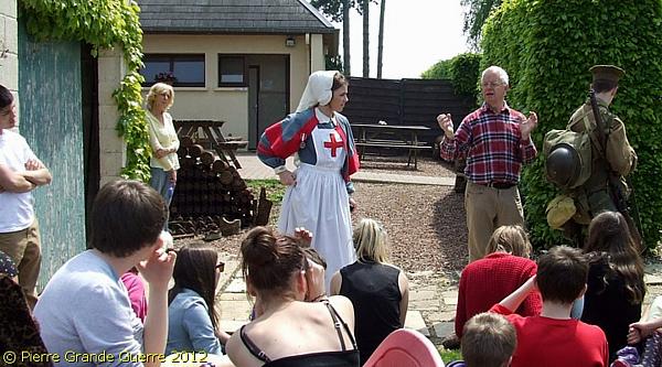
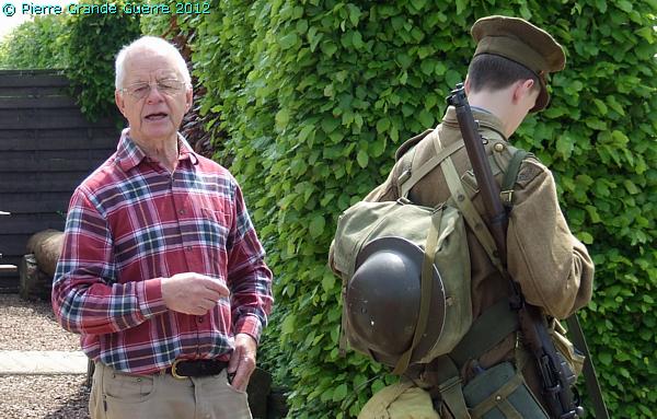
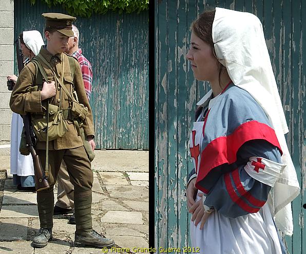
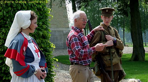
Mr. Teddy's open air lecture involves two students of a visiting high school class, wearing exact copies of the 1916 equipment. It gives us a fine opportunity, to observe their outfits in full colour instead of in black and white , as we are used to see on period photographs.

Mr. Teddy tells a class of Ulster schoolkids about the history of the 36th Ulster Division and their bloody contribution to the Battle of the Somme in his own vivid way.

Mr. Teddy explains how shrapnel shells explode in the air and drop off at high speed their murderous shrapnel balls.
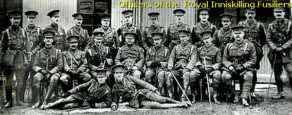
This young guy is wearing the same uniform of a private as his great-grandfather of the Royal Inniskilling Fusiliers did in 1916.
The girls is of course wearing the uniform of a British nurse.
Mr. Teddy let this young
man experience the suffocating choke of the gas mask, used in 1916. The filter
of those days contained the dangerous asbestos, which caused after the war many soldiers suffering from severe lung problems.

These young adolescents were all eyes and ears, and they very impressed by Mr. Teddy’s presentation. I must admit: I was even impressed too !
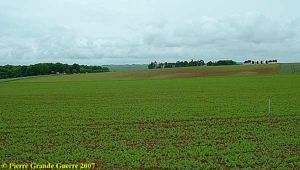
On 1 July 1916 the Mill Road, left in front of the wood , from Thiepval to Hamel and St. Pierre Divion, was No Man’s Land.
Behind Connaught Cemetery , along the D73, the Mill Road, where many Ulster men are buried, is the entrance to the Private Property of Thiepval Wood .
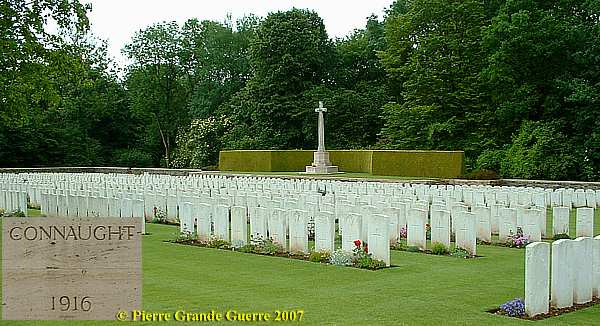
| Connaught Cemetery was begun during the early autumn of 1916. At the Armistice it contained 228 burials. It was then increased, when graves were brought in from battlefields in the immediate area and the following small cemeteries: Thiepval Village Cemetery, Thiepval Valley Cemetery, Quarry Place Cemetery, St. Pierre-Divion Cmty. No.1 ., Divion Road Cmty. No. 2, Small Connaught Cmty., Battery Valley Cmty., Grandcourt, Paisley Hillside Cmty., Authuile, Gordon Castle Cmty., Authuile, and Bluff Cmty., Authuile. The vast majority of the burials are those of officers and men who died in the summer and autumn of 1916. There are now 1.268 Commonwealth servicemen of the First World War buried or commemorated in the cemetery. Half of the burials are unidentified, but special memorials commemorate two casualties believed to be buried among them and five buried in Divion Wood Cemetery No.2, whose graves could not be found. The cemetery was designed by Sir Reginald Blomfield. |
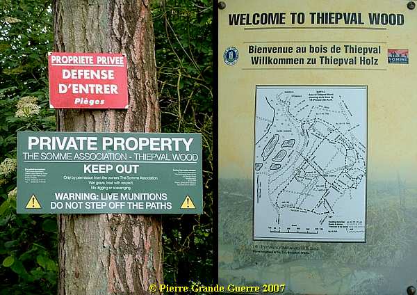
A group of Archeologists, assigned by the Somme Association, is carefully excavating and restoring the former trenches and dugouts of the Ulster Division.
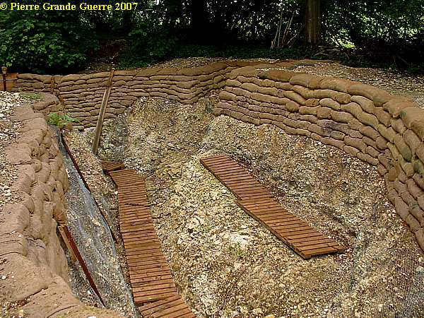
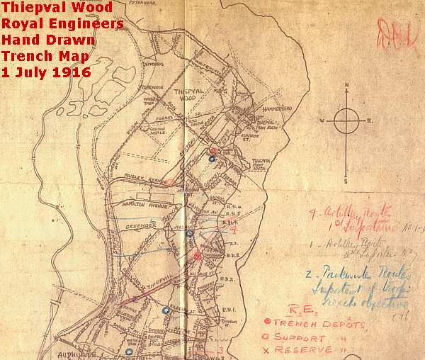
The Ulster Division had dug their jump off trenches in the edge of Thiepval Wood.
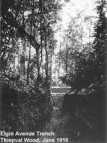
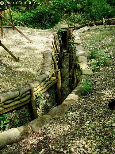
A carefully restored 1st line trench in the year 2007, but not yet completely finished.
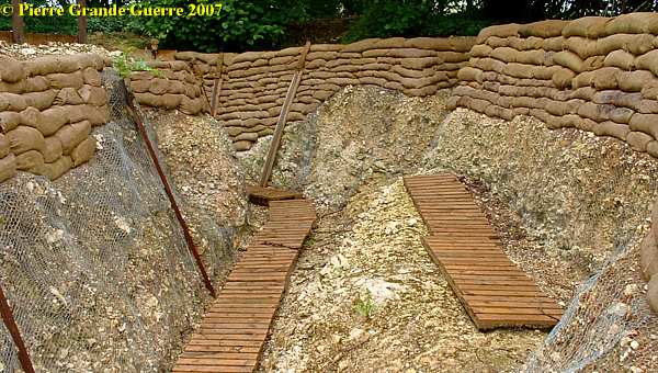
In May 2012 we accompanied Mr. Teddy again into Thiepval Wood to observe 5 years later with also a different camera the great progress of the restoration works. The same restored trench as above, but now 5 years later. The progress is obvious!
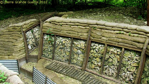
From their first line, here in Thiepval Wood, ...
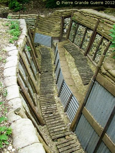
... the Ulster soldiers attacked from this trench and from saps like this one the Schwaben Redoubt, ...
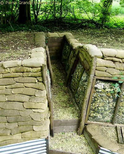
... on the other side of Mill Road.
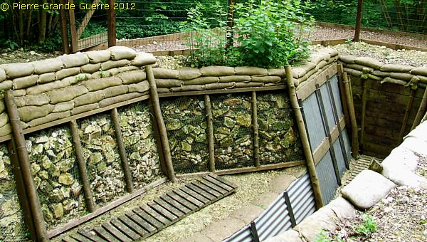
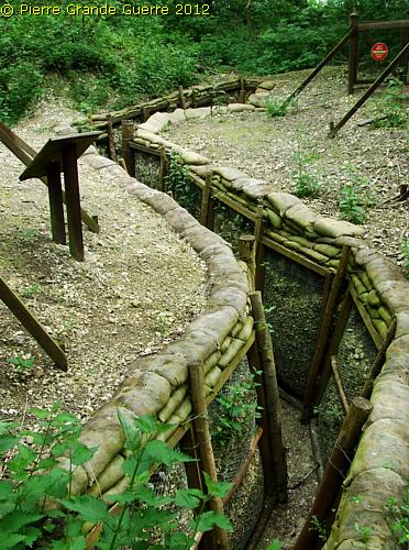
Another restored sector of a trench.

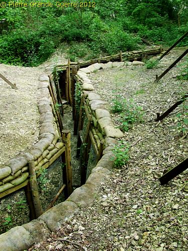
More sectors of trenches , which give us a good impression...
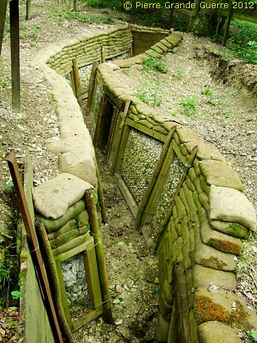
... of the situation in 1916.

Mr. Teddy is explaining the difficulties of the archeologists , when the rain floods the Somme soil.

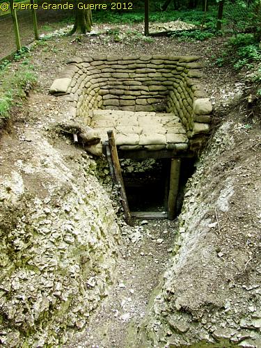
Entrance to an underground dug out.

A mortar pit.
Remember : the progress of the Ulster Division on 1 July was the most advanced of all the other British army units!
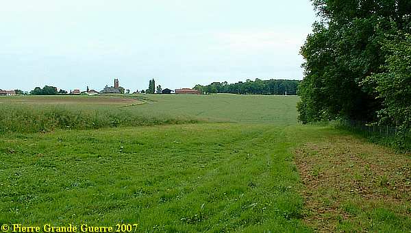
On the edge of Thiepval Wood; a view to the hamlet of Thiepval, and ...
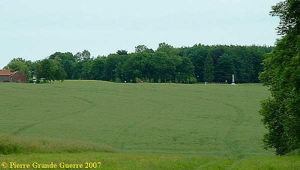
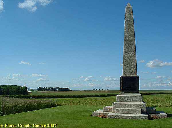
... to the Obelisque for the 18th Division.
When we leave Thiepval Wood, I spot this view over Connaught Cemetery to the Ulster Tower.
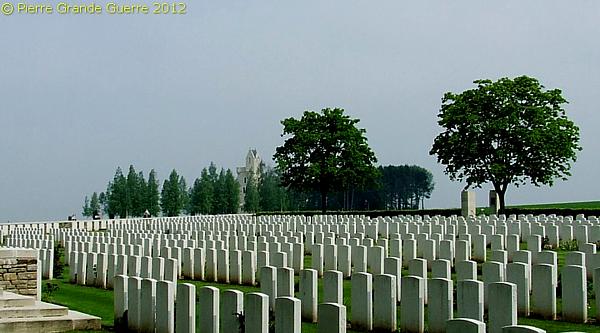
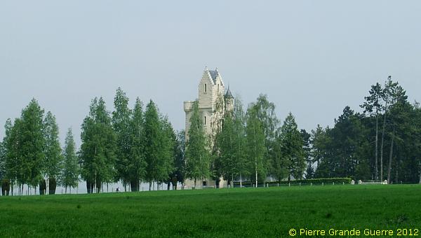
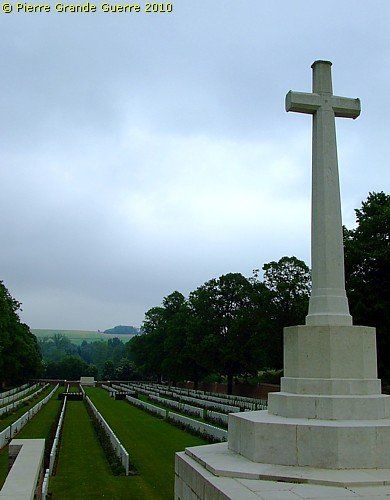
On a rainy day in May 2010 we paid a visit to the Ancre British Cemetery at Beaumont-Hamel.
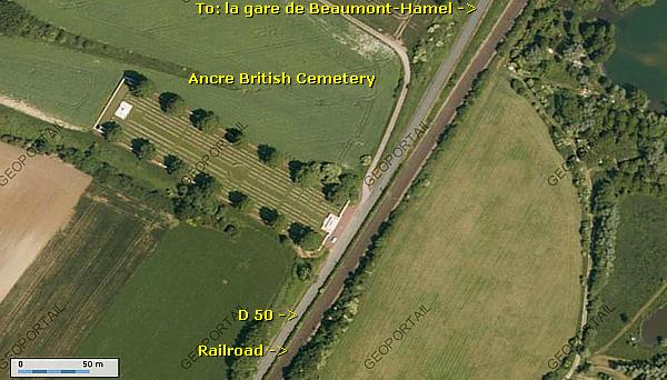
The position of the Ancre Valley Cemetery seems far away , ...
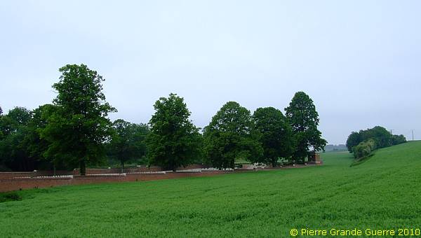
... but in birdsflight it is only 1,3 kilometres away from...

... the Ulster Tower and the Thiepval Plateau.

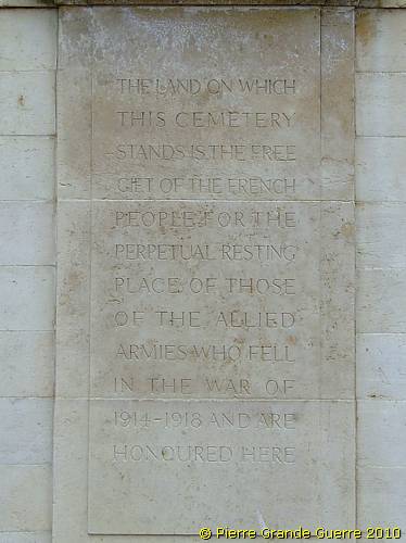
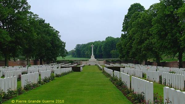
Ancre British Cemetery . Following the German withdrawal to the Hindenburg Line in the spring of 1917, V Corps cleared this battlefield and created a number of cemeteries , of which Ancre British Cemetery ( then called Ancre River No.1 British Cemetery , V Corps Cemetery No.26) was one .
There
were
originally
517
burials
almost
all
of
the
63rd (
Naval
)
and
36th
Divisions
, but
after
the
Armistice
the
cemetery
was
greatly
enlarged
with
many
more graves
from
the
same
battlefields
and
from
the
following
smaller
burial
grounds
:
Ancre
River British
Cemetery
No.2, Beaucourt Station
Cmty
., Green Dump
Cmty
., R.N.D.
Cmty
.,
Sherwood
Cmty
., Station Road
Cmty
.,
and
"Y"
Ravine
Cmty
. No. 2.
There
are
now
2.540
Commonwealth
casualties
of
the
First World War
buried
or
commemorated
in
the
cemetery
. 1.335 Of
the
graves
are
unidentified
, but special
memorials
commemorate
43
casualties
known
or
believed
to
be
buried
among
them
.
There
are
also
special
memorials
to
16
casualties
know
to
have been
buried
in
other
cemeteries
,
whose
graves
were
destroyed
by
shell
fire
. The
cemetery
was
designed
by
Sir Reginald
Blomfield.
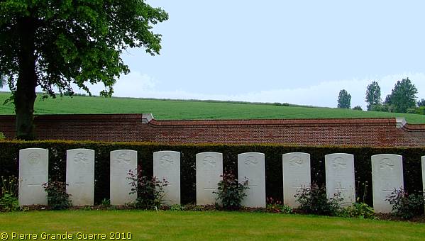
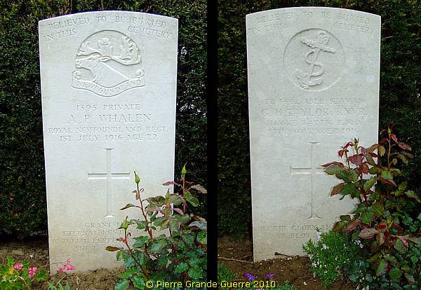
43 " Casualties ", or rather men are known or "BELIEVED TO BE BURIED IN THIS CEMETERY".
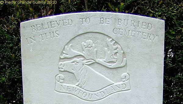
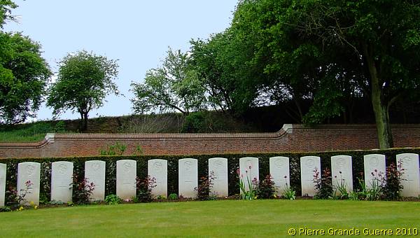
A grave of a private of the Royal Newfoundland Regiment, and a grave of an able seaman of the Hawke Battalion of the Royal Naval Division. ( a Naval Infantry Battalion ).

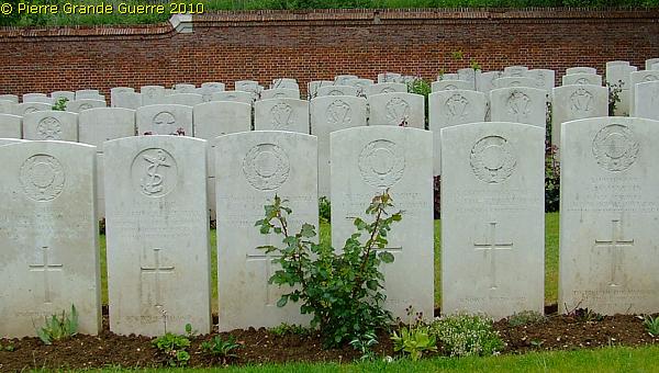
A view south-eastward into the direction of the of the Ulster Tower.
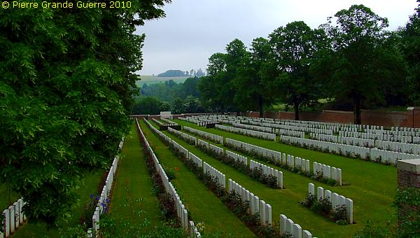
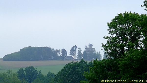
A tele view from the Cross of Sacrifice...
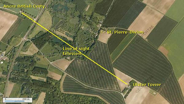
... at the Thiepval Plateau. In May 2010 the Ulster Tower was in scaffolding due to renovation works.
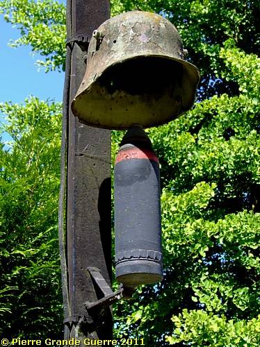
In May 2011 we returned from the Ancre Valley Cemetery to the restored Ulster Tower via the hamlet of St. Pierre Divion, ...
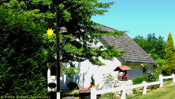
... where a local inhabitant found his own way to remind us of the German presence here.
From the Ancre Valley we follow the Mill Road upward...
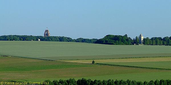
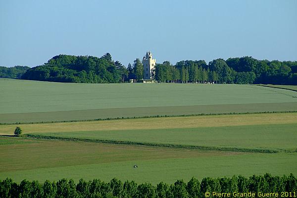
... to the renovated Tower.
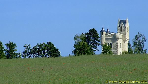
This is the rear side of the cleaned Ulster Tower.
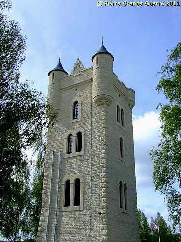
View of the rear side situation of the tower. Remark the trench and dug-out left. This is an exclusive and rare period photo of 1921 of the situation of the battlefield directly around the Ulster Tower.

At sunset we leave the Ulster Tower.

I close these impressions of Thiepval and Thiepval Wood with a last view from the 18th Division Obelisque at the western edge of the Thiepval Memorial Park in the direction of Thiepval Wood and the Ulster Tower.
Continue to the next chapter : " Ovillers - La Boiselle "
