YPRES SALIENT - Hooge - Menin Road, Stage 2 - The Canadian Corps and Hill 62 - Maple Copse Cmty. - Sanctuary Wood - Hill 62 - Hooge Crater Cmty. - Hooge German Trenches
Years of visit: 2005, 2006, 2019
| The former photo impression of “Menin Road, Stage 1” explored the northern side of the Menin Road. This impression, Stage 2, explores the southern side of the N 8 and finishes at Hooge along the Menin Road. During this trip we focus on an area of approximately 2.5 x 2.5 kilometres; the former battlefield of the Battle of Mount Sorrel and Hill 62 of June 1916 involving the Canadian Corps and the German XIII (Royal Württemberg) Army Corps. In this second stage of our Menin Road explorations we start again at the junction of “Hellfire Corner”, south-east of Ypres. This time we turn right on the N 8 at the junction of Birr Cross Roads Cemetery to continue southward to our first stop, the Maple Copse Cemetery. From there we return to the Menin Road to continue eastward and turn right at the Canadalaan to visit the Sanctuary Wood Cemetery, the Sanctuary Wood Trenches, and the Hill 62 Canadian Memorial. From the Memorial we return again to the N 8 to continue eastward to visit at the hamlet of Hooge the Hooge Crater Cemetery and the German trenches, bunkers and mine craters. In between I will explain briefly in several illustrated frames the background of these sites. |
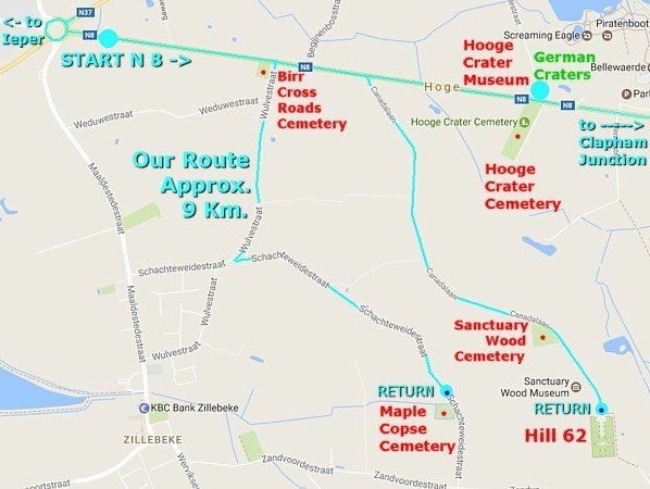
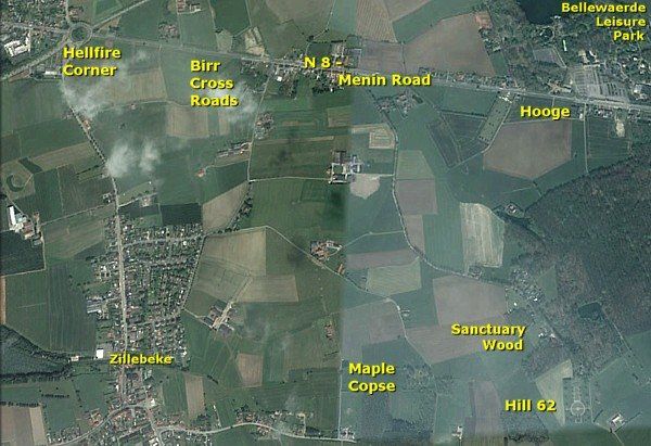
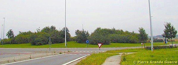
As in the former photo impression of “ Menin Road, Stage 1 ” we start at the traffic roundabout of “Hellfire Corner”, south-east of Ypres.
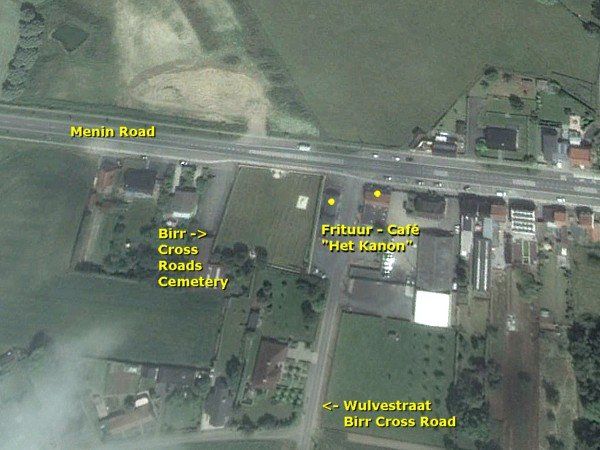
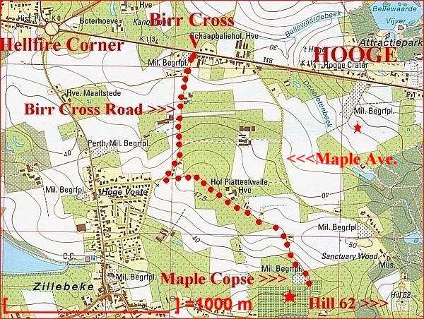
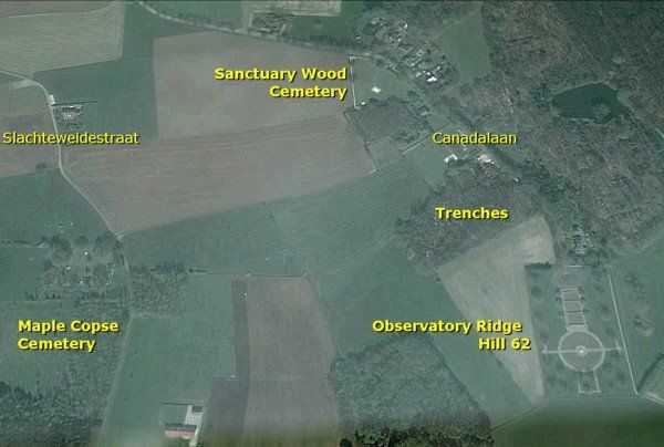
We follow the N 8 Menin Road eastward until “Het Kanon” and Birr Cross Roads Cemetery to turn southward to the Wulvestraat. At the T-junction with the Slachteweidestraat we turn left to continue over a very narrow road south-eastward for some 1,900 metres, passing the Hof Platteelwalle Farm, to stop at the gate of the Maple Copse Cemetery.
A tele view from the Hof Platteelwalle Farm at the Slachteweidestraat north-eastward to Hooge Cemetery and Hooge.
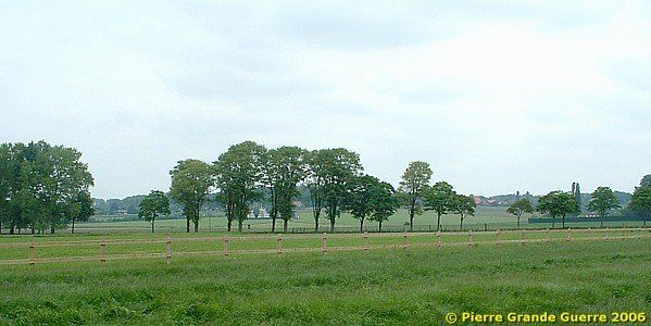
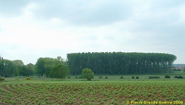
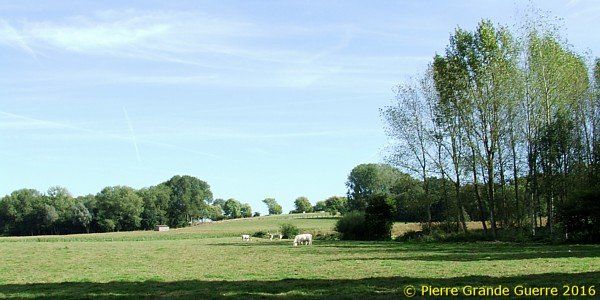
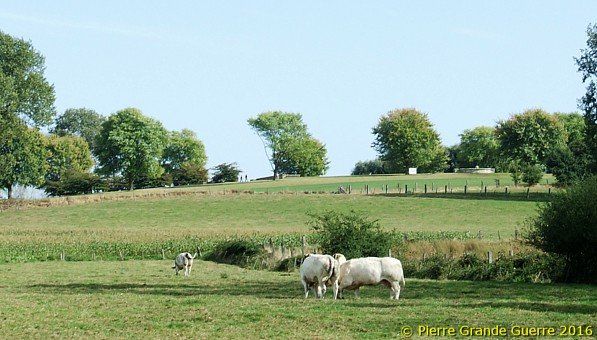
From the same spot a tele view southward over the fields to Maple Copse.
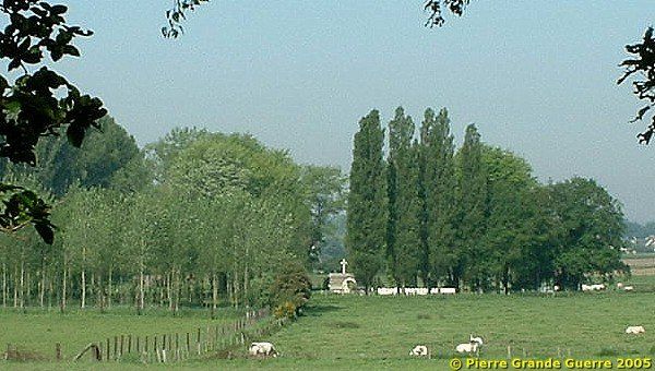
We continue southward. On the west side of the road we see some 500 m. away the peak of the Cross of Sacrifice of the Sanctuary Wood Cemetery.
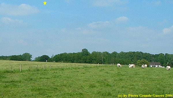
Arriving at our first stop, in front of Maple Copse Cemetery we spot on the east side of the road Hill 62.
| The Battle of Mount Sorrel and Hill 62 (2 - 14 June 1916) |
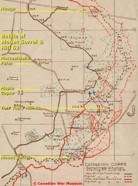
The Battlefield
During the first 3 months of the war, the Germans were eager to occupy as much of the hills in the fields of Flanders as possible. The military advantage from the possession of even a modest hill of 45 m. amidst the lower fields is obvious: a better observation of the enemy, a better position for fortifications, and a better position for defence actions. The possession of a hill in Flanders fields offered any occupying force an excellent advantage for control over the lower grounds.
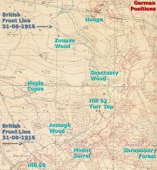
The Battle of Mount Sorrel took place along a ridge between Hooge in the north and Hill 60 at Zwarteleen in the south. During the battle the opponents focused their attacks on the hills of Hooge (45 m.), Hill 62 named after its height, in 1916 also called “Torr Top” or “Tor Top”, and nearby Mount Sorrel (60 m.).
The Opponents - XIII (Royal Württemberg) Army Corps
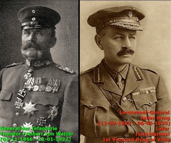
In this front sector three divisions were deployed of the German Fourth Army under Albrecht Herzog von Württemberg: the 117. Infanterie Division (117th Infantry Division), and the 26. (1. Königlich Württembergische) Division and 27 . (2. Königlich Württembergische) Division of the XIII. (Königlich Württembergisches) Armee-Korps (XIII (Royal Württemberg) Army Corps) under Generalleutnant Theodor von Watter . Six weeks before the battle the staff of Generalleutnant Theodor von Watter’s XIII. Armee-Korps planned and prepared carefully an attack on the Canadian lines west of Hooge, Hill 62 and Mount Sorrel. The objective was to take definite control of these hills.
Canadian Corps
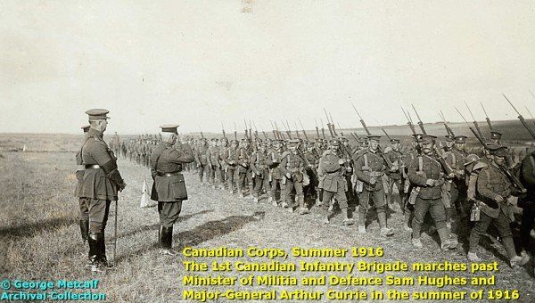
From May there were four divisions of the British Second Army under General Sir Herbert Plumer stationed in this front sector: the three Canadian Divisions of the Canadian Corps under Lieutenant-General the Honourable Sir Julian Byng . Later during the battle, the Canadians were reinforced by an Infantry Brigade from the 20th Light Division.
Mid May - Aerial Reconnaissance
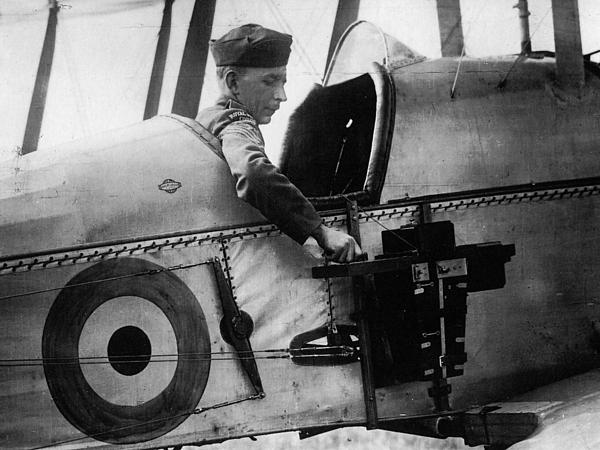
During the second half of May, observers of the Royal Flying Corps detected behind the German lines near Mount Sorrel the existence of trench networks resembling the Canadian positions. The Württemberg soldiers dug these copied trenches for field training of their troops among others to improve their orientation for the coming attack. The aerial reconnaissance detected also that the Germans were digging new sap trenches towards the Canadian lines, in June 1916 - a known sign of a future attack.
Preparations Battle
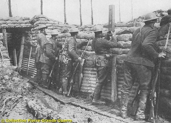
From 29 May 1916 Lieutenant-General Byng inspected the positions of the Canadian Corps. Byng observed that the Germans on their higher positions overlooked the Canadian troops. The positions of the Canadian Corps were under constant danger of fire.
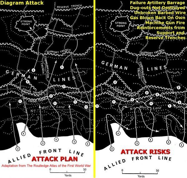
Byng assigned Major-General Malcolm Mercer of the 3rd Canadian Division to design an attack plan to overrun the German positions. While the Canadian Major-General Mercer began preparations for an attack, the German Generalleutnant Theodor von Watter deployed his own plan of attack and released his three Divisions.
German Preliminary Artillery Bombardment

On 2 June 1916 at 6.00 AM, the artillery of the XIII Army Corps opened a bombardment on the Canadian positions. When the bombardment began, Major-General Mercer and Brigadier-General Arthur Williams of 8th Canadian Brigade were inspecting the front line. Stunned and deafened by a shell burst Major-General Mercer still found his way to an aid post. He insisted immediately on leaving to rejoin his Headquarters. Mercer was hit next and his leg was broken. Next he was struck again, this time by shrapnel, and killed. Brigadier-General Williams was wounded in the head and taken prisoner during the later following infantry attack. Of course, the loss of two key commanders at the onset of the operations was a critical setback. The bombardment wounded and killed 90 percent of the Canadian forward troops.
Detonation Mines Mount Sorrel - Infantry Attack
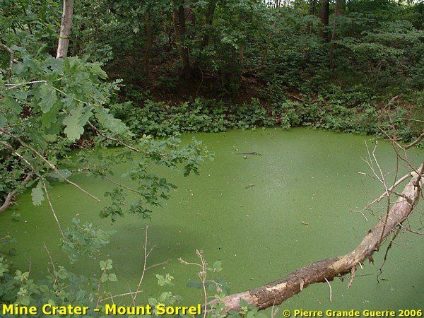
At 1:00 PM, German pioneers detonated four mines near the Canadian forward trenches of Mount Sorrel, followed immediately by an infantry attack.
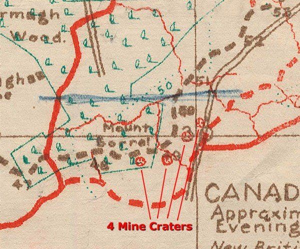
With six battalions the Württemberg 26th and 27th Infantry Divisions attacked the positions held by the 8th Canadian Brigade. At Sanctuary Wood the Princess Patricia’s Canadian Light Infantry held off the attack sustaining high casualties .
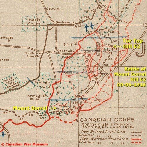
The main force of the Württembergs attacked the 1st and 4th Canadian Mounted Rifles and a Company of the Princess Patricia’s Canadian Light Infantry. The Germans captured Hill 62 and Mount Sorrel. After advancing up to 1,100 metres the Württemberg soldiers dug in to consolidate their new positions.
3 June - Failed Counterattack
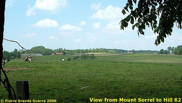
In the night of 3 June Lieutenant-General Byng hastily organized a counterattack. Brigadier-General Hoare Nairne of the Lahore Divisional Artillery, took temporarily command of the 3rd Canadian Division. Because of the high casualty numbers in the 3rd Division, two brigades of the 1st Canadian Division were temporarily attached to the command of Brigadier-General Hoare Nairne. Mount Sorrel was the objective for Brigadier-General Lipsett’s 2nd Brigade. Brigadier-General Tuxford’s 3rd Brigade would attack Torr Top or Hill 62. In the southern attack sector the 7th Brigade would attack Hill 60.
Owing to heavy German artillery fire on troops on their way to the jump-off lines, the Canadian counterattack, scheduled to begin on 3 June 1916 at 2:00 AM, was postponed until 7:00 AM. From the beginning the attack started with general confusion, when the chosen start signal of six simultaneous launched green rockets failed. Some rockets misfired and did not burst. As a consequence the three attacks did not start simultaneously but began at different times enabling the Germans to concentrate their fire.
As the troops had to advance in broad daylight and over open ground, the Canadians suffered heavy losses. Some small parties managed to penetrate parts of the German front line trenches. But the Canadians were not able to capture or hold the trenches. At about 1.00 PM they had to retreat to their jump-off positions. The attack failed to regain any lost territory. But on some locations the Canadians managed to advance the front line about 900 – 1,500 metres from the positions they were forced to retreat to on 2 June.
British Reinforcements and Second German Attack
General Plumer sent reinforcements to Byng: an infantry brigade from the 20th Light Division and a number of additional artillery units; two South African Howitzer Batteries, 89th Siege Battery, 51st Howitzer Battery and the artillery of the 9th Infantry Brigade of 3rd Division. The artillery batteries immediately started shelling the German batteries, the forward trenches, support trenches and reserve trenches.
6 June – 4 Mine Explosions at Hooge
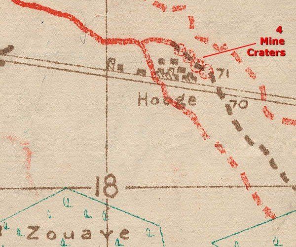
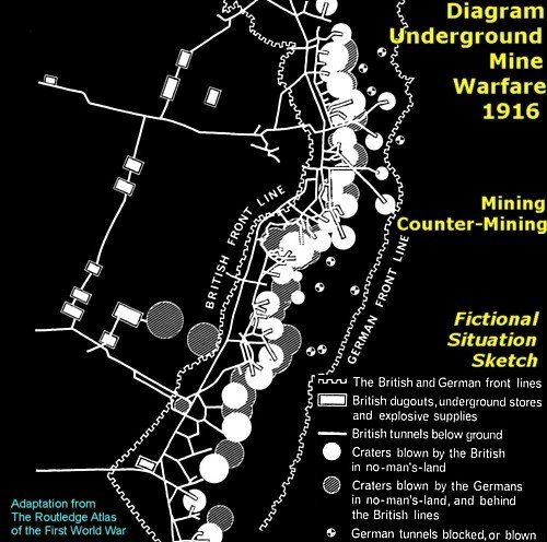
The Germans were not impressed. On 6 June at 3.00 PM they surprised the Canadians by exploding four large mines under the forward trenches of the 2nd Canadian Division at the outskirts of the ruins of Hooge.
A company of the Canadian 28th (North West) Battalion was wiped out by the explosions. In despite of these mines and the follow-up of an infantry attack the Canadians managed to hold their positions for a while.
But ultimately Byng decided to leave the Hooge trenches to the Germans. From then on Byng focused on the capture of Mount Sorrel and Hill 62.
Byng ordered Major-General Arthur Currie of the 1st Canadian Division to plan an attack on the German positions at Mount Sorrel and Hill 62. Owing to the casualties of the unsuccessful counterattack of 3 June, Currie was forced to re-organize his battalions into two composite brigades.

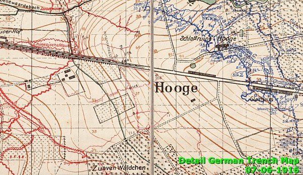
From 4 June the already bad weather deteriorated. Air reconnaissance became impossible. Both parties postponed larger actions. Until 8 June the Württembergs gained some terrain westward up to Maple Copse (dark brown line Canadian Trench Map).
9-12 - June Preliminary Bombardments
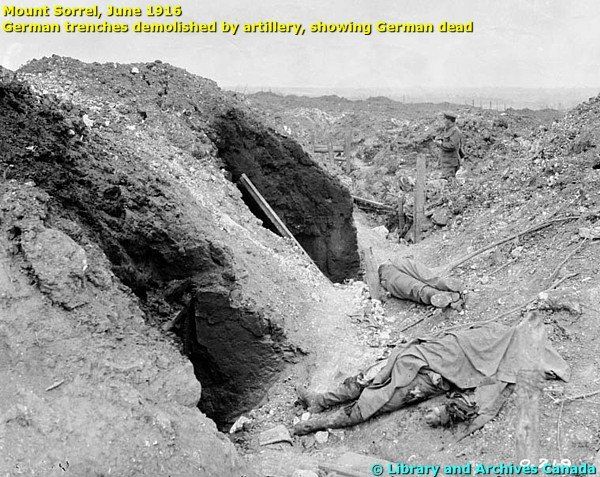
Between 9 and 12 June Currie’s artillery launched four intense bombardments of thirty minutes each in an effort to deceive the Germans into expecting immediate attacks, which did not take place.
On 12 June the artillery shelled for ten hours all the German positions between Sanctuary Wood, south of Hooge, and Hill 60 at Zwarteleen.
13 June – Canadian Success at Hill 62 and Mount Sorrel
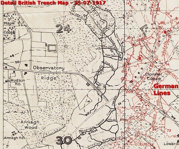
On 13 June the Germans suffered an additional 45 minutes of a heavy artillery bombardment. After this preliminary bombardment at 1.30 PM, the Canadian troops advanced behind a smoke screen. On the left Brigadier-General Tuxford’s 2nd, 4th, 13th, 15th and 16th Battalions attacked Hill 62. On the right Brigadier-General Lipsett’s 1st, 3rd, and 8th Battalions attacked Mount Sorrel. In the south the 7th Brigade attacked Hill 60.
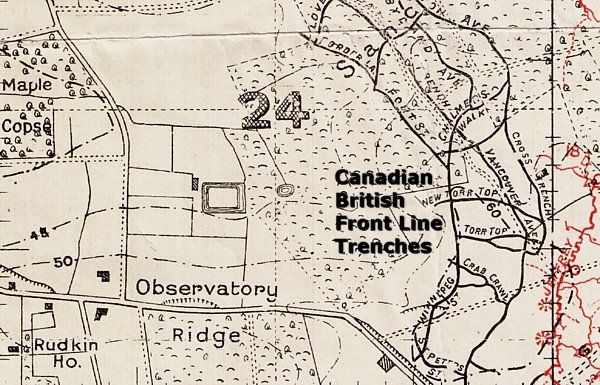
This time the infantry attack completely surprised the Württembergs. The Germans offered little resistance. The Canadians were able to take some 200 prisoners. With exception of the trenches at Hooge, the Germans fell back to their original jump-off trenches. In less than an hour the attack was over.
The Aftermath - Casualties
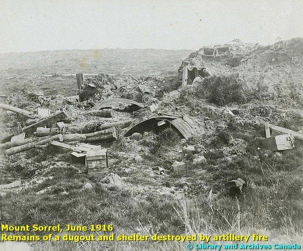
On 14 June the Germans launched two counterattacks to no avail. On the other hand, they managed to advance their trenches to a distance within 150 metres of the Canadian lines, but they made no further attempts to attack.
Although the battle ended in a Canadian victory, securing Mount Sorrel and Hill 62, the Canadian casualty numbers were much higher than the German numbers, in particular the significant numbers of men wounded or Missing In Action.
Between 2 June and 14 June 1916, the Canadian Corps lost a total of 73 officers and 1,053 soldiers killed; 257 officers and 5,010 men wounded; 57 officers and 1,980 men missing, a total of 8,430.
German losses were 32 officers and 1,191 soldiers killed; 71 officers and 3,911 men wounded; 6 officers and 554 men missing, a total of 5,765.
The Canadian Corps would stay in the Ypres Salient until the beginning of September, when the corps was transferred to the Somme.
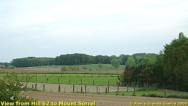
The photo of Hill 62 above was taken just from the northeast corner of Maple Copse Cemetery.
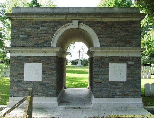
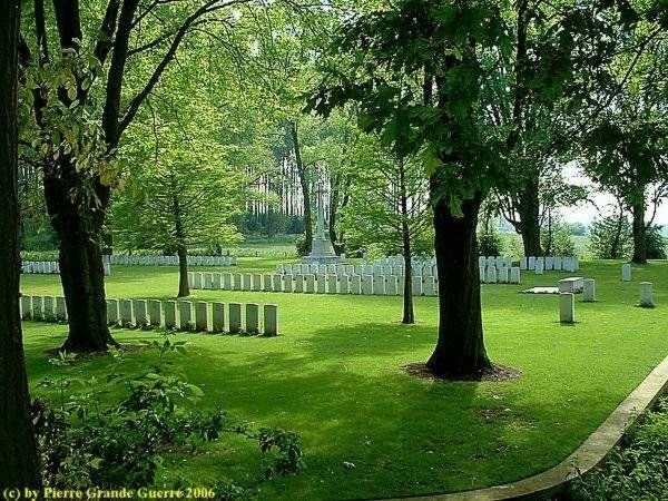
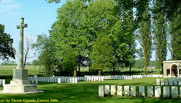
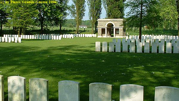
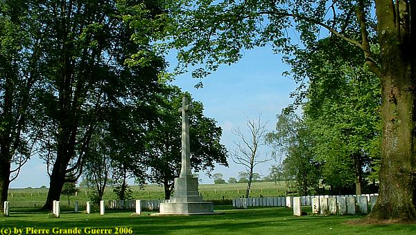
Maple Copse Cemetery - Maple Copse was the name given by the Army to a small plantation about 900 metres east of the village of Zillebeke, and just west of Sanctuary Wood. The place was used by Advanced Dressing Stations and burials took place there both before and after the Battle of Mount Sorrel in June 1916. The graves were mostly destroyed, however, in that engagement, and in later fighting. The site of the cemetery, on the north side of the copse, was enclosed after the Armistice, but of the graves known to exist there, only a small number could be definitely located.
The cemetery now contains 308 burials and commemorations of the First World War. Of the 78 burials that could be located, only 26 are identified and special memorials commemorate 230 casualties whose graves in the cemetery had been destroyed.
The cemetery was designed by Sir Edwin Lutyens.
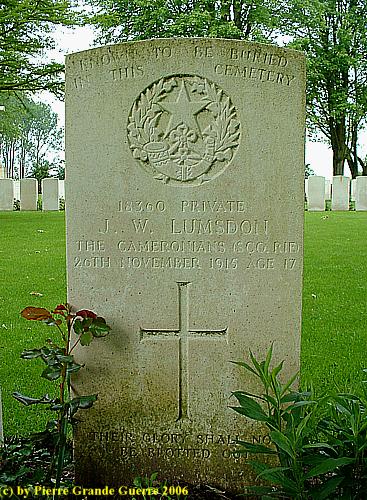
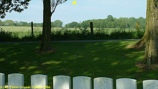
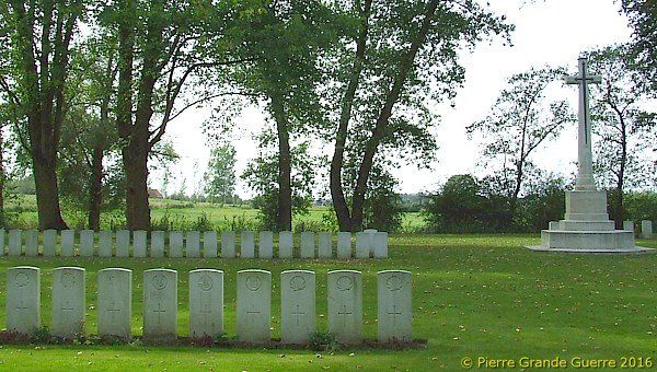
On almost every gravestone we find this text: “KNOWN TO BE BURIED IN THIS CEMETERY” .

The grave of a 17 year old Scottish lad, killed on a "ordinary" front day, not during a particular battle.
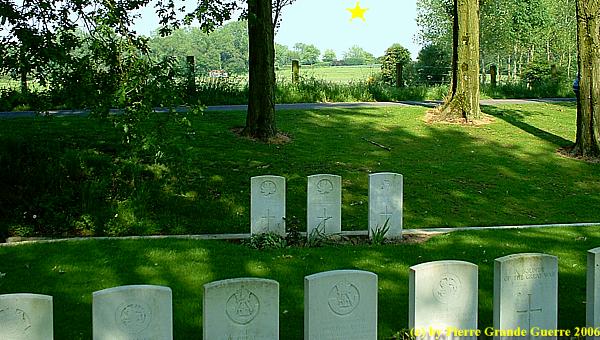
A variety of the gravestone text, a small statement witnessing to the horrifying scenes here, on a grave of a young Canadian soldier, aged 18: "BURIED ELSEWHERE IN THIS CEMETERY".
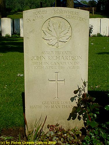
Scottish, English, and Canadian soldiers sharing the same row together.
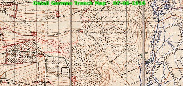
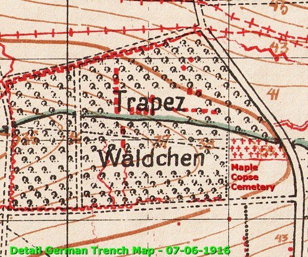
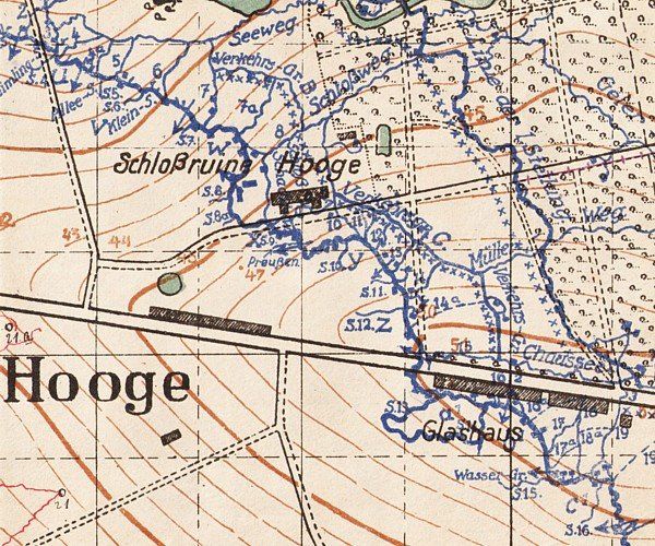
Before we continue with some photos of our 2016 visit to this cemetery, I show you as a reminder two details of a German trench map of the area of Maple Copse.
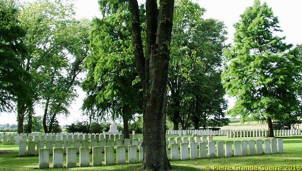
When we are in the Ypres Salient we always pay 1-2 visits to Maple Copse Cemetery. It is always a very quiet place to rest a little and to contemplate the horrors of the events which have taken place in these nowadays peaceful landscapes.
The grave of another young Canadian soldier, only 17, fallen on the most successful day of the Battle of Hill 62.

Every visit I choose another set of graves for a closer inspection. In September 2016 I detected this set of headstones of the two brothers Tyreman.
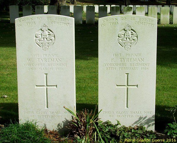
| The Tyreman Brothers Fallen In 1916 |
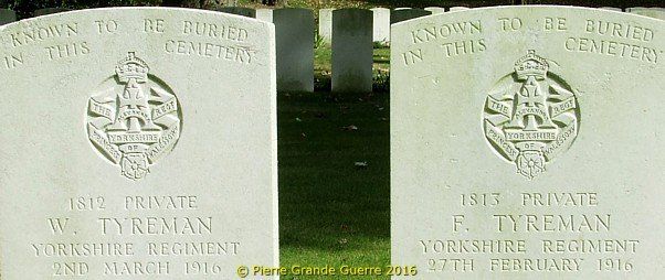
The brothers were Fred, 18, and William Tyreman, 23, from Brompton near Northallerton. Both were soldiers from "Z" company of the 4th Battalion of the Yorkshire Regiment. Fred fell in Armagh Wood on 27 February 1916 and William died on 2 March 1916, only 4 days apart.
William had written home on the 28th:
"Dear Mother, Sisters, and Brother, It is with a heart nearly broken that I write these few lines home to you to tell you of the sad news of poor Fred being killed on Sunday, the 27th. Mother, I hardly know how to tell you of the dreadful news...... Well Mother, I cannot tell you more, as I am nearly done up and my eyes are nearly closed, but be brave and ask the Lord to help you. Hoping you will write back by return with news from home. Will write more tomorrow telling you all. I remain, Your broken-hearted Son."
Capt. Sproxton of the 4th Battalion wrote on the 3 March their sister about the circumstances of death of William:
"B.E.F. - Dear Mrs. Mitchinson, After my letter of two days ago I hardly know how I can tell you that your other brother William George Tyerman (sic), who was in this Company, was fatally wounded in the early hours of the 2nd, and died a short time afterwards in the Dressing Station. He suffered no pain as the bullet went clean through his lung. He is buried side by side with his brother and the Christian Burial Service was read over both. I write to you rather than to his Mother because I understand that she is ill in bed, and I am sure that you will be able to break this news far better than I could in any letter of mine. I cannot say how grieved I am that this double tragedy should have fallen on Mrs. Tyerman at such a time. Please express the most heartfelt sympathy of the Company, Officers and Men - for both boys were very popular. By this time you will have received William's letter on his brother's death. That letter will be proof enough to you that he also died a good Christian and a good soldier. May God be with you all at this awful period."
Source a.o.: http://4thyorkshires.com/022Bn1916.html
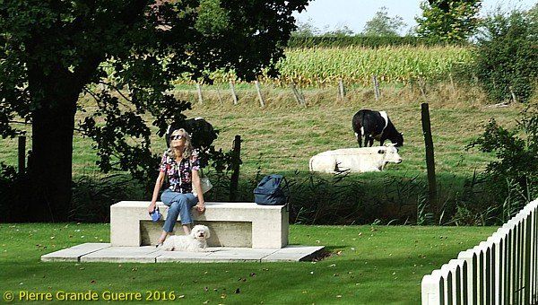
My always patient driver, my wife Christine (+08-05-2018), takes a moment for contemplation.
We leave this impressive, beautiful, but mainly sad place in respectful silence.
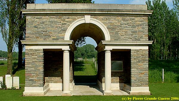
At "Het Kanon" we turn right to continue eastward via the Menin Road to turn the first road right, the dead end Canadalaan, in English "Canada Avenue", in war times "Maple Avenue".

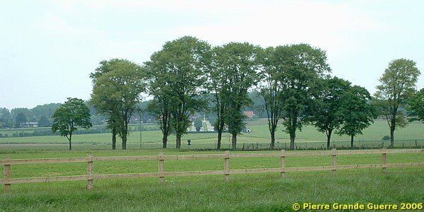
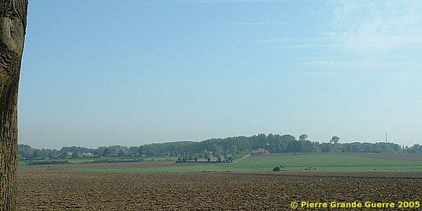
View from the Canadalaan to Hooge.
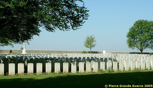
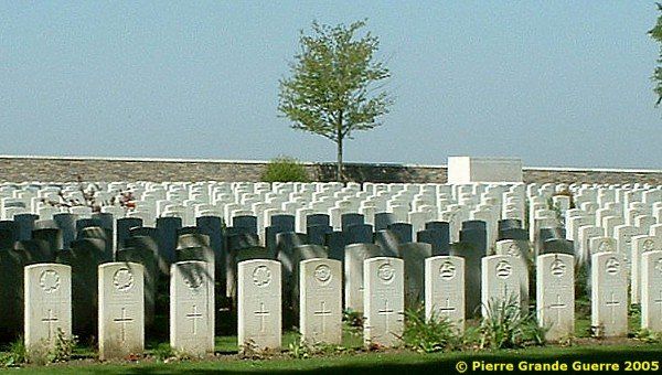
Sanctuary Wood Cemetery - Sanctuary Wood is one of the larger woods in this area. It was named in November 1914, when it was used to screen troops behind the front line. It was the scene of fighting in September 1915 and was the centre of the Battle of Mount Sorrel and Hill 62.
There were three Commonwealth cemeteries at Sanctuary Wood before June 1916, all made in May-August 1915. The first two were on the western end of the wood, the third in a clearing further east. All were practically obliterated in the Battle of Mount Sorrel, but traces of the second were found and it became the nucleus of the present Sanctuary Wood Cemetery.
At the Armistice, the cemetery contained 137 graves. From 1927 to 1932, Plots II-V were added and the cemetery extended, when burials were brought in from the surrounding battlefields. They came mainly from the communes immediately surrounding Ypres, but a few were taken from Nieuport (Flemish: "Nieuwpoort", on the coast) and smaller cemeteries.
Most of these burials were from the 1914 Battles of Ypres and the Allied offensive of the autumn of 1917.
There are now 1,989 Commonwealth servicemen of the First World War buried or commemorated in the cemetery. Of these burials 1,353 are unidentified. Many graves, in all five plots, are identified in groups but not individually.
In Plot I is buried Lieutenant G.W.L. Talbot, in whose memory Talbot House at Poperinghe was established in December 1915. The first list of the graves was made by his brother the Reverend Neville S. Talbot, MC, later Bishop of Pretoria.
The cemetery was designed by Sir Edwin Lutyens.
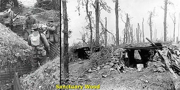
Trenches of the Sanctuary Wood Museum
A few hundred metres south of the cemetery we visit the Trenches of the Sanctuary Wood Museum in the backyard of the "Hill 62" Café.

These trenches are a contentious reconstruction of Canadian trenches, open for (paying) visitors.
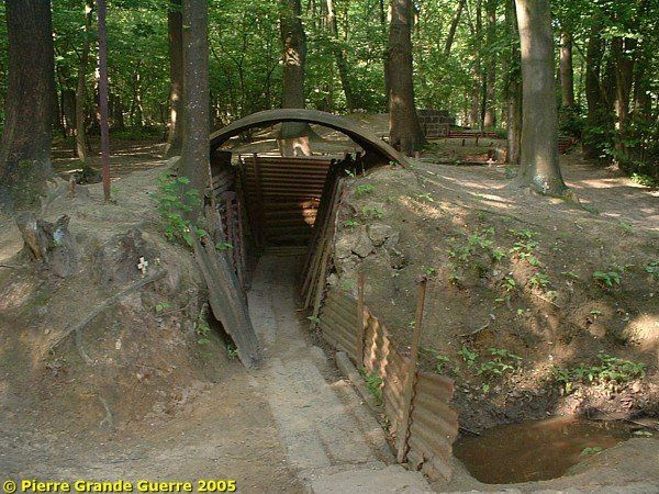
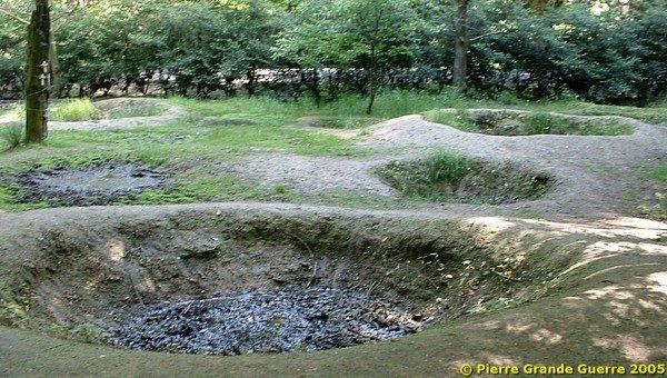
Anyway the location and the shell holes are authentic. The reconstructions do give an impression of the war situation.
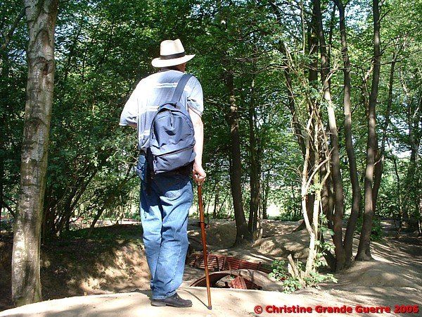
From the trenches of Sanctuary Wood a view at the nearby gate and the "Cross of Sacrifice" of Maple Copse Cemetery.
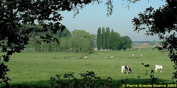
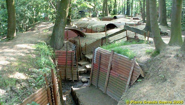
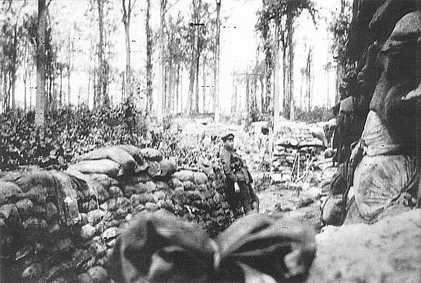
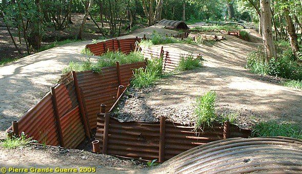
From the Sanctuary Wood trenches we walk to the Canadian Memorial at Hill 62.
Hill 62 Canadian Memorial
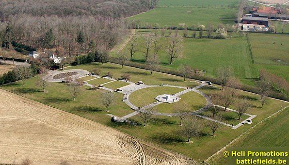
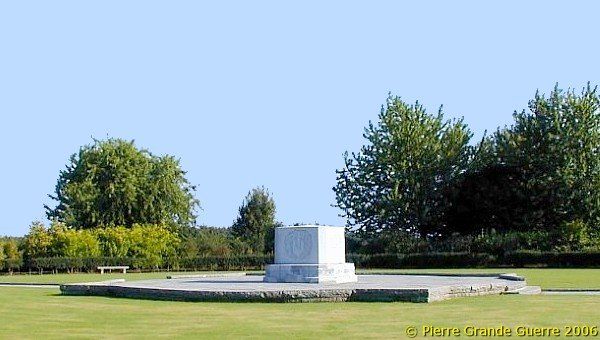
The octagonal granite block is similar in shape to the Canadian Memorials on Passendale Ridge, at Bourlon Wood near Cambrai and Courcelettes, Somme.
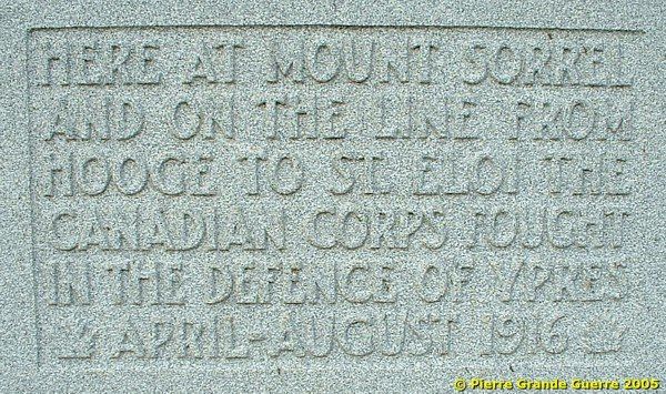
The inscription commemorates the Canadian Corps during the defence of Ypres and the Battle of Mount Sorrel and Hill 62.
View from Hill 62 to Geluveld.
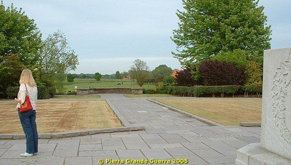
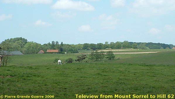
View from Hill 62 to Mount Sorrel.

View from Hill 62 to Ypres.
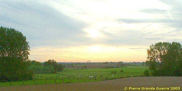
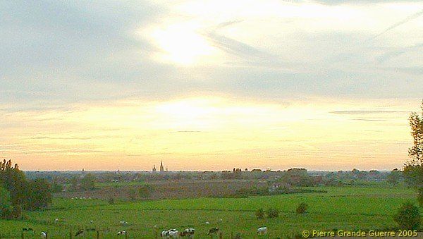
We return via the Canadalaan to the Menin Road to turn right to continue to our next stop the Hooge Crater Cemetery.

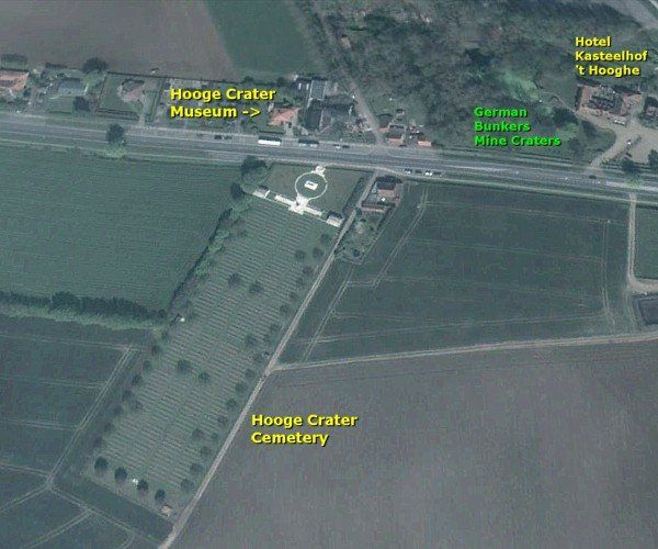
Hooge Crater Cemetery
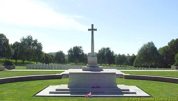
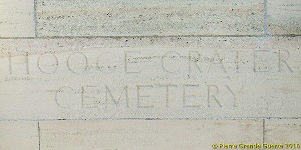
Hooge Crater Cemetery was begun by the 7th Division Burial Officer early in October 1917. It contained originally 76 graves, in Rows A to D of Plot I, but was greatly increased after the Armistice when burials were brought in from the battlefields of Zillebeke, Zandvoorde and Geluveld and smaller cemeteries.
There are now 5,916 Commonwealth servicemen of the First World War buried or commemorated in this cemetery. Although 3,570 of the burials are unidentified, special memorials record the names of a number of casualties either known or believed to be buried among them, or whose graves in other cemeteries were destroyed by shell fire.
The cemetery was designed by Sir Edwin Lutyens.
Source: Commonwealth War Graves Commission
Because the inscriptions on the headstones are directed south-westward, we walk downwards to the southern edge of the cemetery.
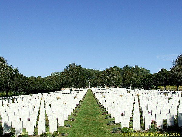

| The panorama from Hooge Crater Cemetery south-westward in 3 overlapping steps, starting southward and continuing clockwise. View to Sanctuary Wood. |

Two views to the Canadalaan, from left to right.
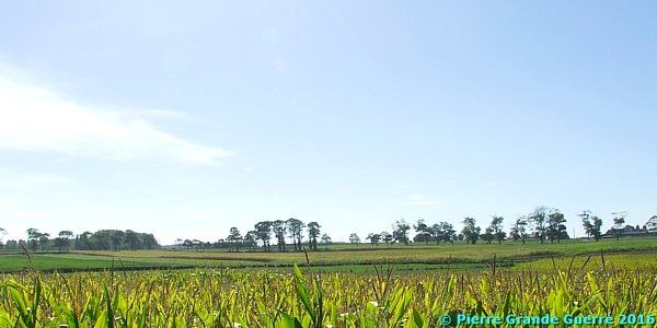
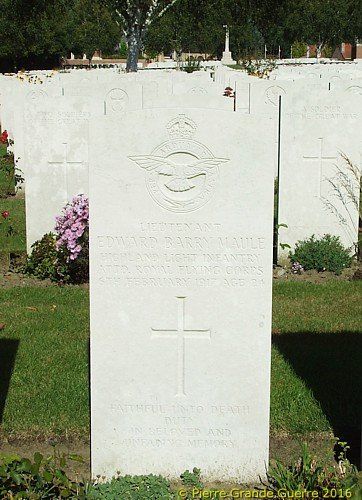
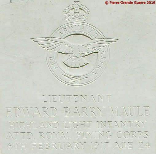
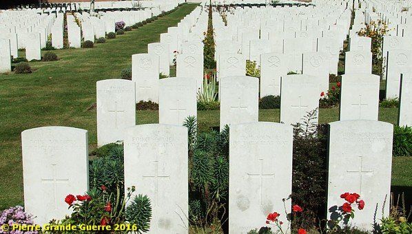
We walk upward the slope to look at some of the many graves.
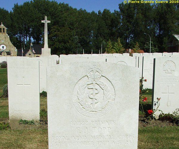
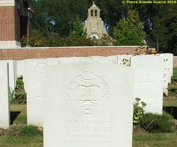
On the other side of the Menin Road, opposite the cemetery: the recommendable Hooge Crater Museum .
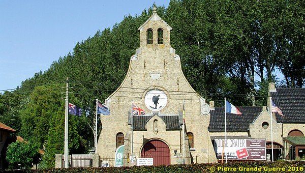
| Hooge
|
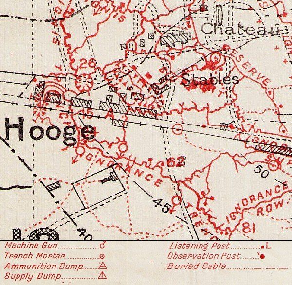
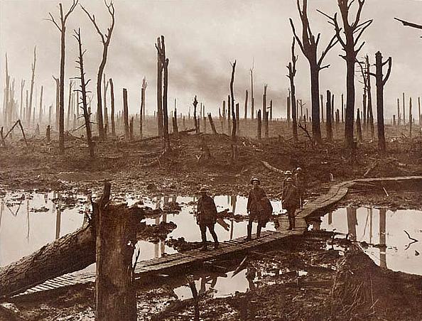
The Hooge Crater
On 19 July 1915 the British 175th Tunnelling Company Royal Engineers detonated a mine with a charge of 3,500 pounds of ammonal under the relics of the former Chateau Wood. The explosion killed about 100 Germans and destroyed completely the German position. When freshly blown, the crater measured 40 metres across and 12 metres deep.
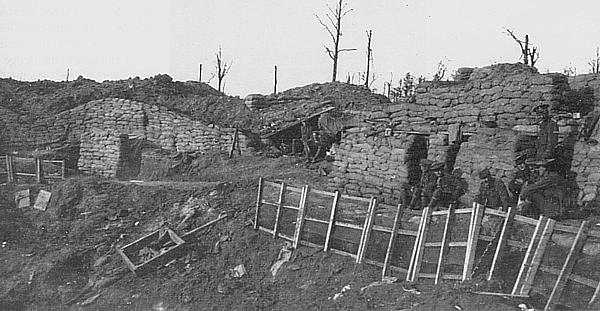
Nowadays the Belgian authorities have allowed here the ceation of a mass leisure park, called “Bellewaerde Park”, after the Bellewaerde Lake on its grounds. In the twenties of the 20th century the crater was filled up. So alas, it is not possible to make pictures of this crater nowadays.
Hooge - August 1915 - September 1918

On 30 July 1915 the Germans captured the chateau. On 9 August the British 6th Division regained it and the crater. The Germans re-captured Hooge on 6 June 1916.
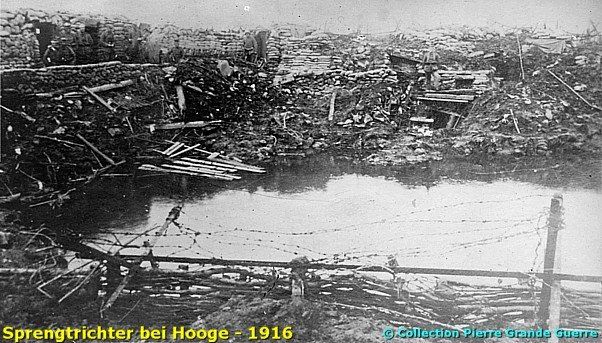
After the 8th Division advanced 1,600 metres beyond Hooge, the Germans captured the hamlet on 31 July 1917.
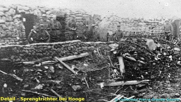
In April 1918 it was lost for the last time to the Germans, but on 28 September the 9th (Scottish) and 29th Divisions conquered Hooge.
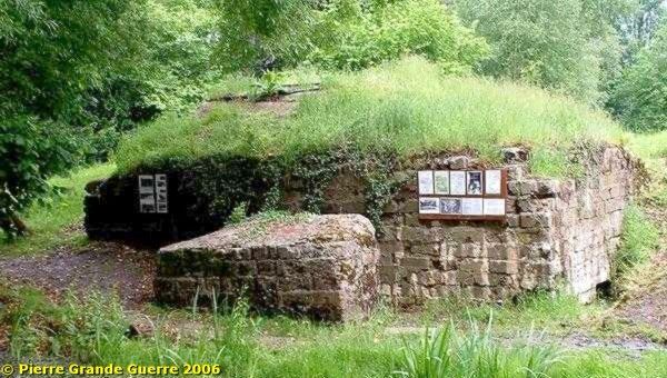
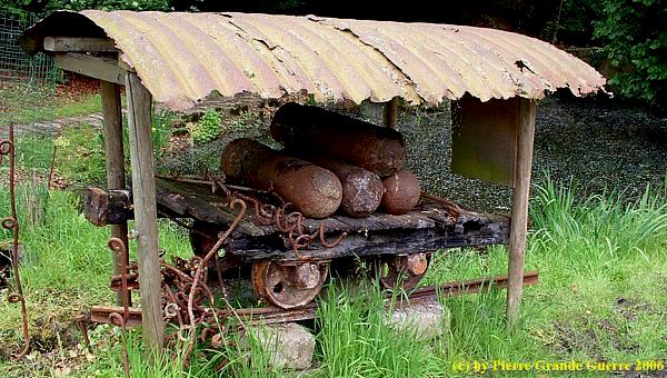
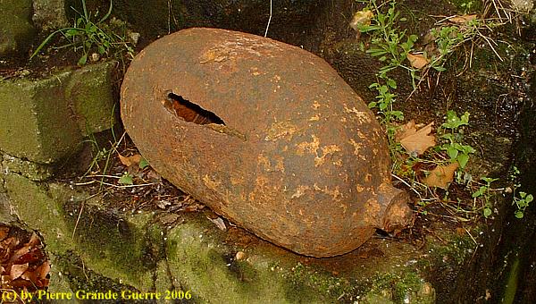
Some relics of gas shells.
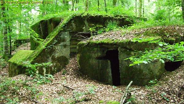
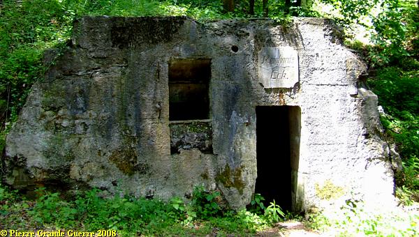
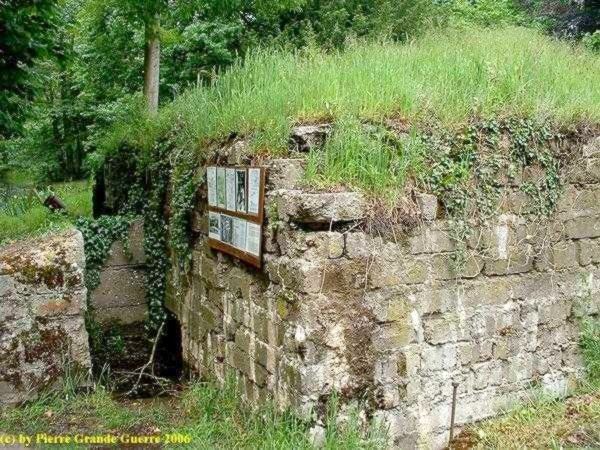
The entrance of the bunker.
German launching tubes for gas shells.
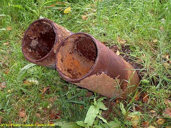
Relic of a gas container.
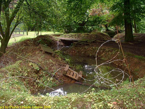
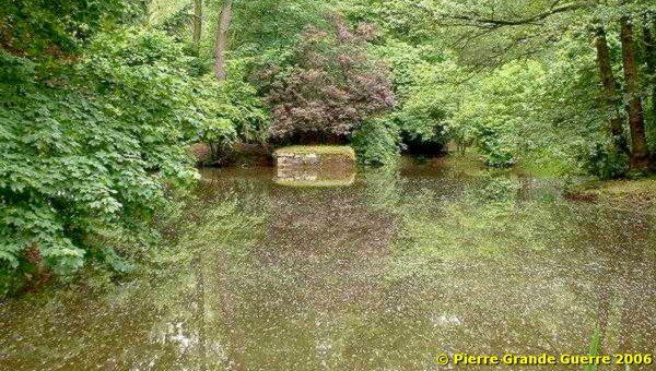
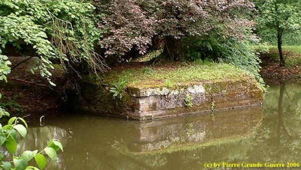
There are three adjoining water-filled mine craters to be found here.

The Germans detonated these 3 mines during the Battle of Hill 62 in June 1916. A sunken bunker on the edge of the crater.
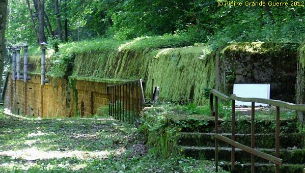
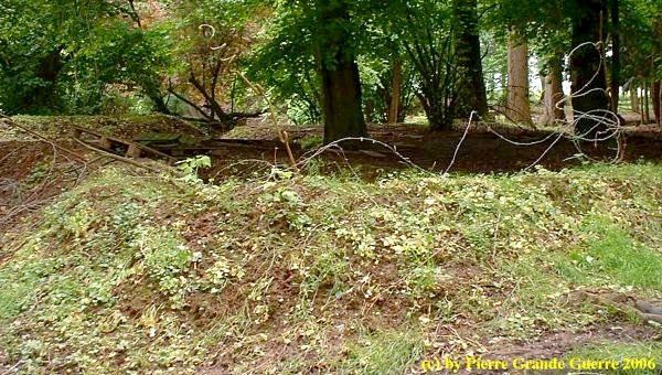
Relic of a trench.
From the left, the spot in the sunlight on the grass, belonging to the terrain of the leisure park, the Germans launched their first attack with flamethrowers against British troops.

Reddemann’s Flamethrowers at Hooge
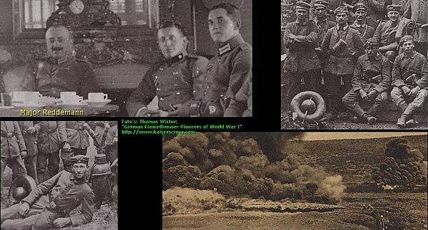
In the early morning of 30 July 1915 at 03.15 AM. two companies (9 and 10) of the III. Garde-Pioneer Battalion under Major Reddemann completely surprised the troops of the 8th Rifle Brigade. During the infantry attack Reddemann’s “Pioniere” used a relative new weapon of 19 flamethrowers launching jets of flames of about 12-15 metres onto the men of the 7th Battalion King’s Royal Rifle Corps. Under pressure of the attack the riflemen were thrown back to the southern side of the Menin Road, downhill, behind the western wall of Hooge Cemetery. After two days of fighting the 8th Rifle Brigade lost 19 officers and 462 soldiers and the 7th Battalion King’s Royal Rifle Corps lost 12 officers and 289 other ranks.
French Troops First Victims German Flamethrowers
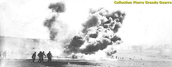
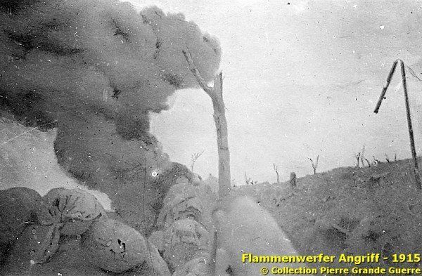
The British troops were not the first victims of German flamethrowers. In fact the French troops were the first victims of German flamethrowers. The companies of the III. Garde-Pioneer Battalion were deployed in previous engagements: in February 1915 in the Argonne near Malancourt and Vauquois , in May 1915 in the Artois at Neuville-St. Vaast (Vimy), and after these deployments, on 30 July 1915, at Hooge. Unfortunately, it is erroneous to say that British troops were the first ever victims of flamethrowers at Hooge, as many British historians claim.
Read more details
about the origins of Reddemann’s flamethrowers elsewhere on this site in my English lecture about the German
General Gaede
.
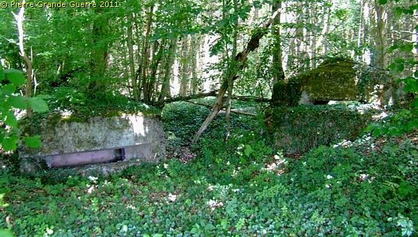
Another sunken bunker on the edge of the crater. The bunkers around the crater haven been built by the Germans in 1916.
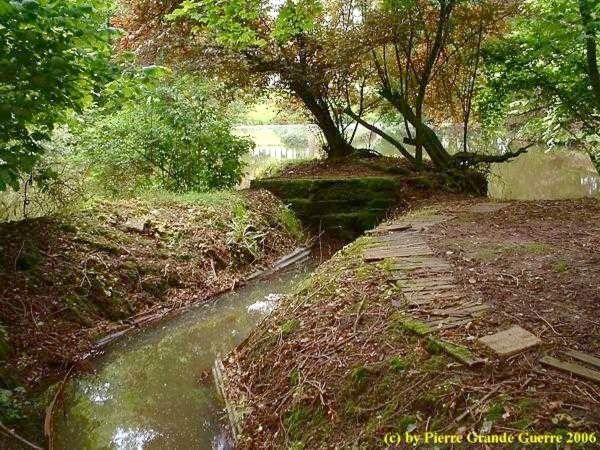
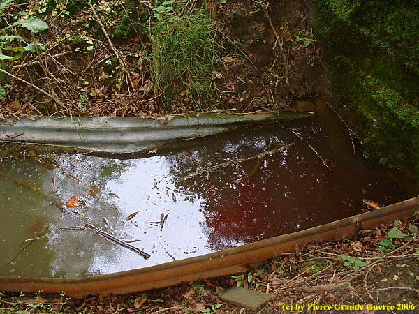
The water-filled trench to the entrance of the bunker.
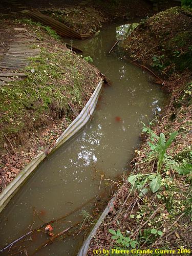
The entrance to the sunken bunker.
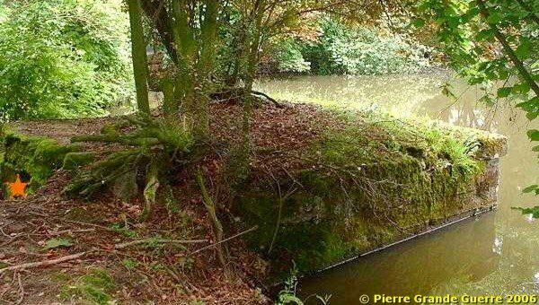
A last view over the 3 adjoining German craters of Hooge.

Continue to the next chapter: further eastward via the Menin Road to Clapham Junction , Shrewsbury Forest Bunkers and the Zandvoorde German Command Post Bunker .
